
Tue 05:03 PM Update — This afternoon’s NAM-NEST, just available, has the heaviest “action” as the front moves into NJ between midnight and 3 AM. Very heavy rain and high wind gusts possible.
Tue 12:10 PM Update — Heavy rain and gusty winds. Reviewing this morning’s models, the rain will move in in two main waves.
The first round about 3-4 PM, with the possibility of some thunderstorms. Available energy (CAPE) is in the low range, so thunderstorms should be not that impressive.
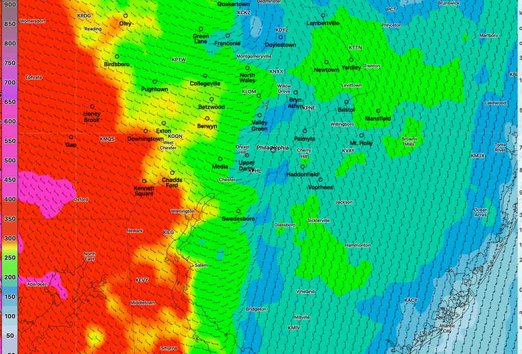
The second round will be between 9 and 1 AM. The actual front moves through about midnight. Helicity values very high (>300 J/Kg) with the frontal passage, especially in western suburbs. High wind gusts (35-40mph) expected ahead of the actual front. CAPE values low, so thunder not expected with this second round.
Total amount of rain will be 1.25-1.5 inches with some locally heavier amounts possible.