
#Phillywx #Philadelphia #weather #PAwx
The axis of rain was further north than had been forecast by many models yesterday. The Canadian HRDPS was an outlier and offered the correct forecast, somewhat followed by the GFS and ECMWF.
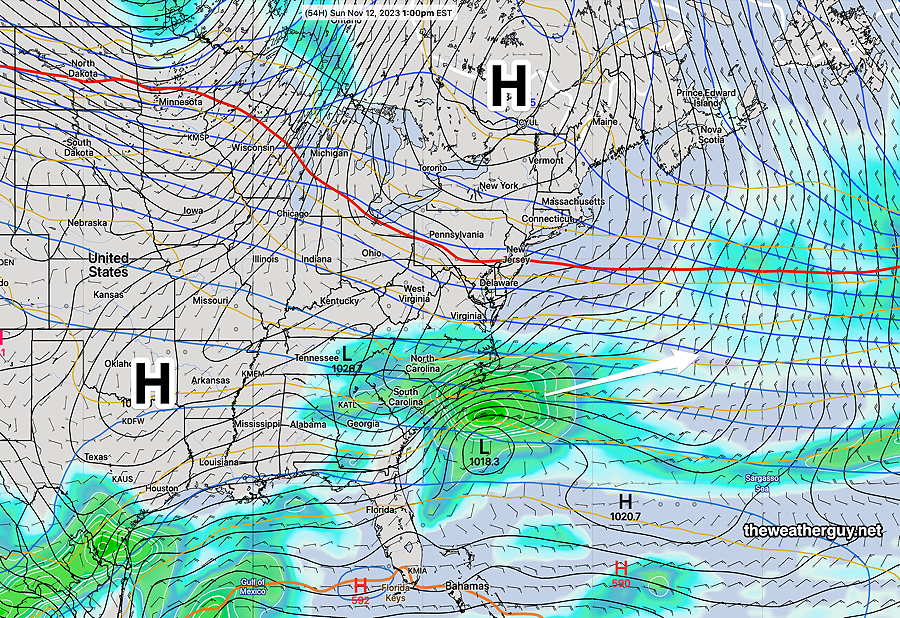
As mentioned, the upper air pattern for the weekend as forecast several days ago has become less amplified in the Northeastern US. It will still get colder, but not as cold as previously thought.
Here’s the latest NAEFS forecast for Sunday, showing a high pressure ridge with two centers that will bring cold but fair weather to us—
Sunday
Continued sunny and cold. Light winds.
High temperature 48º ( NBM model— location Blue Bell, PA)
High temperature 50º ( NBM model— location Philadelphia, PA)
uncertainty-average; sd of about ± 1.7º