
#Phillywx #Philadelphia #weather #PAwx
The nice weather has allowed me to take a break in my daily updates. But I’m returning my attention to forecasts with my regular Weekend Weather Forecast later this evening. Stay tuned.
Could the Weather be any Better?
Update Thu 10/26 9:35 PM — The weather doesn’t get much better than this, and I haven’t posted much this week since everything you need to know about the weather can be learned by walking outside.
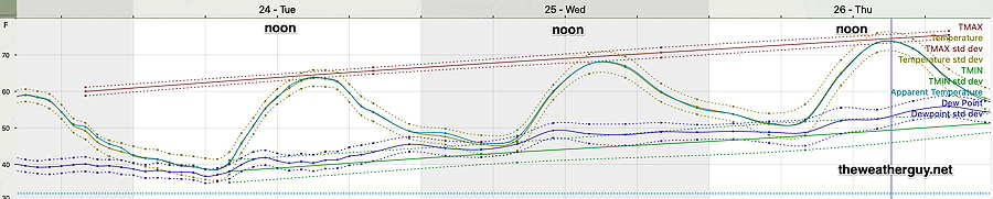
Temperatures have been running a few degrees warmer than forecast earlier this week and it looks like we’ll hit the low 80s by Saturday.
The only uncertainty was/remains regarding possible showers on Sunday and it looks like showers may stay to our far north and west. That’s the most likely scenario, but still some room for that forecast to change. Weekend Weather returns later tomorrow.
Mild Weather Continues
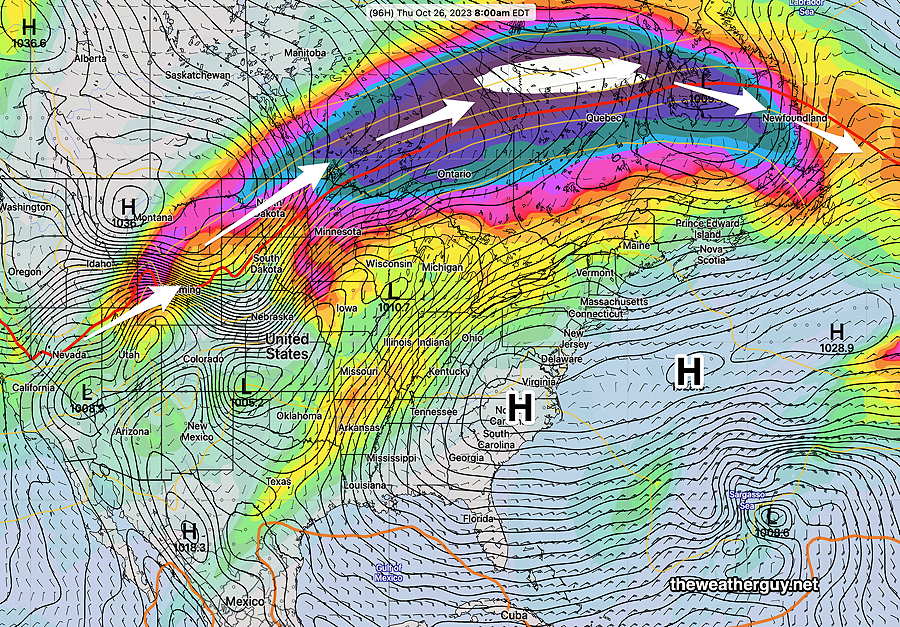
Updated Tue 10/24 @ 7:44 PM — The upper ridge is building, with warmer air moving towards us at all levels of the atmosphere. The storm path is to our north and a disturbance moving through Canada will bring some periods of clouds on Wednesday, mostly after noontime. There should still be plenty of sun too. High temperatures Wednesday through Thursday in the low to mid 70s, possibly higher on Friday.
Beautiful Weather
Updated Mon 10/23 @ 10:02 AM — The upper level ridge will move north and eastward this week, giving us beautiful weather through Saturday!
High temperatures on the upswing this week—
Previously Posted Sun 6:03 PM —
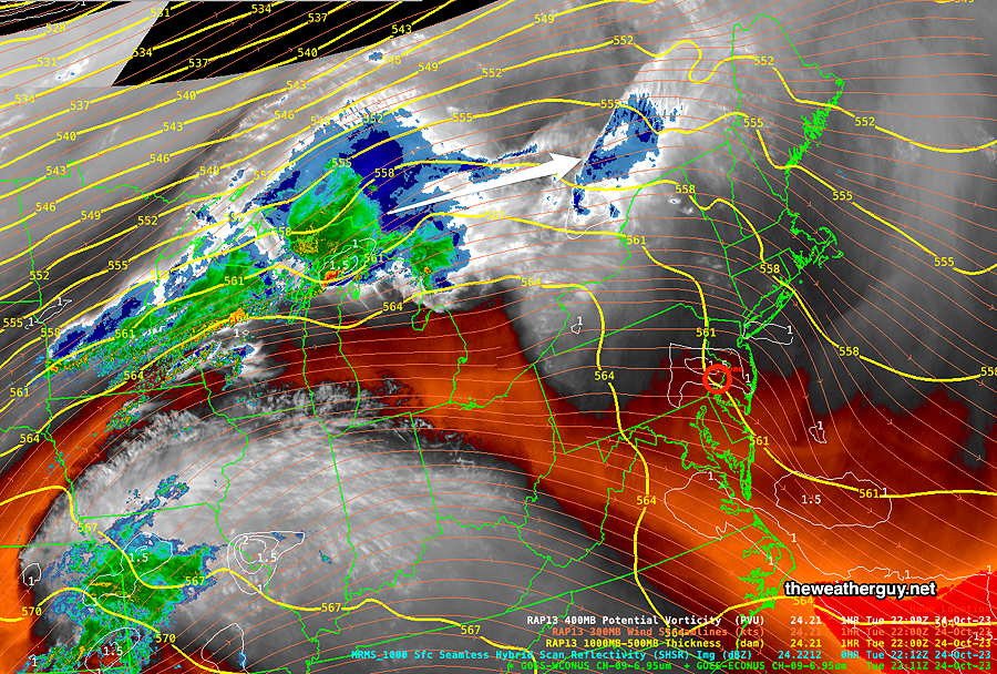
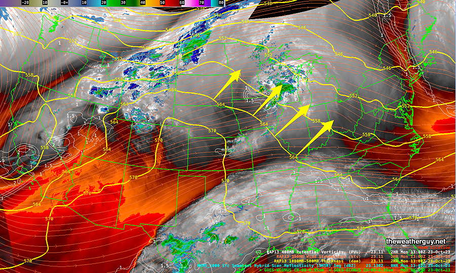
Our current, cool weather is the result of a cyclonic flow around the departing low pressure system along with an upper level trough—
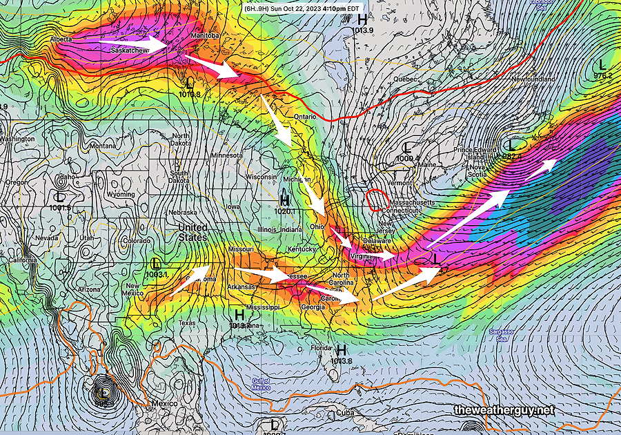
This week, we’ll transition to an upper level ridge in our area, allow temperatures to warm above seasonal averages—
October often has the best weather and we’ll likely see that this week. High temperatures above 70º by Thursday!