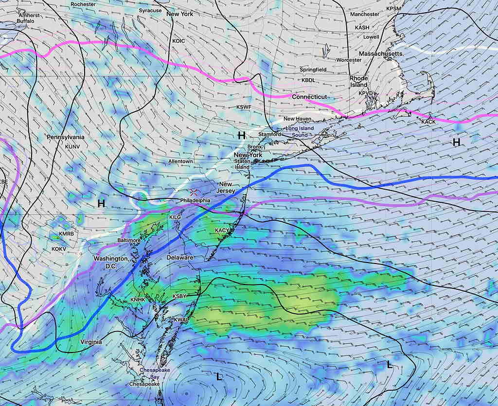
Updated Thurs 11 PM —Tonight’s models are showing very high winds starting 9-10 AM Friday morning, especially from Philadelphia and east into NJ.
The fairly uneventful winter weather season continues here for the weekend.
Deep low pressure will be departing our area on Friday, and high pressure will build in for Saturday morning, giving us sunny skies but seasonably cold. High 42.
Fast moving weather flow will be evident as clouds build in during Saturday afternoon ahead of a series of weak disturbances that will approach our area.
These weak disturbances have been handled differently by several models; the latest GFS suggests the chance of light snow flurries early Sunday morning as a result of one of these disturbances. This feature has been inconsistent, with several models having shown this earlier in the week, then backing off.
Either way, Sunday’s morning clouds should break for sunshine by the afternoon. High 46.
Another front approaches Monday with more clouds and showers.