WEEKEND WEATHER FORECAST

Updated Fri 11:04 PM— Tonight’s models have more sun, fewer clouds Saturday afternoon.


After today’s rather intense weather, this weekend’s weather will be relatively unremarkable.

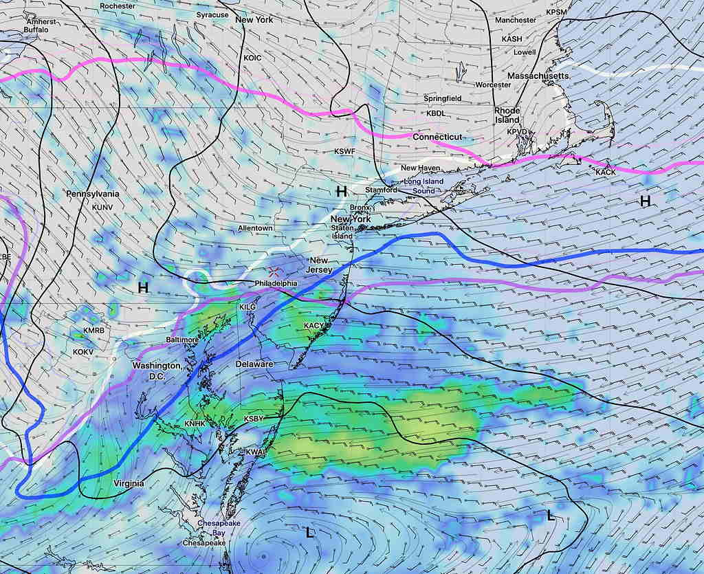
Cold high pressure builds in on Saturday and high temperatures will be seasonable, near 43.  As for cloud cover, Saturday morning will be mostly sunny but some increase in cloudiness is still suggested for Saturday afternoon. Breezy in the morning, but winds reduce in the afternoon.

An upper air disturbance is expected to move through our area between 3 and 6 AM Sunday.  Most of the models have backed off on the snow showers, but the area of vorticity is expected to be fairly well-developed and some snow flurries or snow showers are still possible.  Skies start to clear after daybreak and a mostly sunny day, with occasional cloudiness is expected.  High 47.

WEEKEND WEATHER OUTLOOK

Updated Thurs 11 PM —Tonight’s models are showing very high winds starting 9-10 AM Friday morning, especially from Philadelphia and east into NJ.


The fairly uneventful winter weather season continues here for the weekend.

Deep low pressure will be departing our area on Friday, and high pressure will build in for Saturday morning, giving us sunny skies but seasonably cold.  High 42.

Fast moving weather flow will be evident as clouds build in during Saturday afternoon ahead of a series of weak disturbances that will approach our area.

These weak disturbances have been handled differently by several models; the latest GFS suggests the chance of light snow flurries early Sunday morning as a result of one of these disturbances.  This feature has been inconsistent, with several models having shown this earlier in the week, then backing off.

Either way, Sunday’s morning clouds should break for sunshine by the afternoon.   High 46.

Another front approaches Monday with more clouds and showers.

WEEK WEATHER OUTLOOK

Saturday night’s model runs briefly showed the possibility of snow, however subsequent model runs have all moved to predicting mostly rain for our area Thursday into Friday.

A slow moving cold front in the Midwest will have waves of low pressure move up along the front, bringing rain, possibly heavy for Thursday into Friday. The precipitation starts late Wednesday evening or Thursday after midnight.  Some areas to the northwest of Philadelphia will have a period of freezing rain or sleet before daybreak, before changing to all rain.

NAM  forecast Simulated Radar for 1 AM Thursday morning – north and west of white line is below freezing at surface- possible freezing rain/sleet. The warm air advances northward by daybreak.

No snow seen in the current forecast.