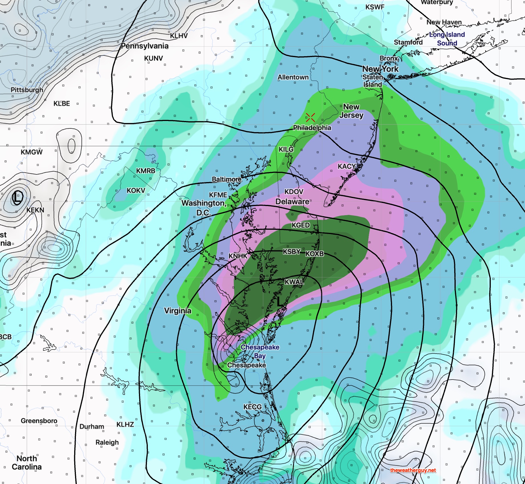
[su_note note_color=”#d9f2da”]Tonight’s NAM continues with a westward trend and has fairly heavy rain for Philadelphia on Sunday. [/su_note]
High pressure will move over us on Saturday.
Saturday looks to be sunny and dry with warmer temperatures and less wind. High 65. (Some cirrus clouds move in during Saturday late afternoon.)
The remnants of a tropical low moving up from the south will affect our weather on Sunday.
Most of today’s models have the low pressure system moving just close enough to bring showers to Philadelphia and the immediate western suburbs on Sunday.
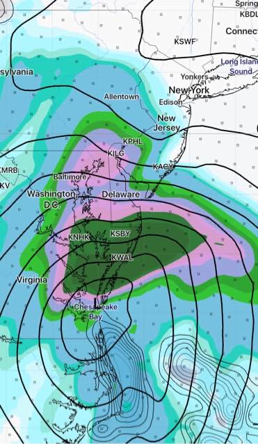
The NAM is most aggressive with the rain and its western track, but the current GFS, Canadian and ECMWF all have light showers in our area either late Sunday morning or early afternoon. (Heavier rain in NJ.)
The NAM has been consistent, but may be over-doing the rain.
An easterly wind flow and clouds will keep it chilly with a high of 57.