
[su_box title=”Winter Weather Update: Monday 12 Noon” box_color=”#defcdc” title_color=”#000000″]Based on this morning’s models, the snow will start later in the morning in Philadelphia. The NAM has it starting about 10 AM Wednesday, while the GFS about noon in Philadelphia. Earlier starts southwest of the city, later northeast of PHL.[/su_box]
Details from earlier…
About last night… pockets of sleet developed about 11 PM around Philadelphia and areas to the west north and west. The colder thermal profiles of the NAM did better than the warmer GFS.
So what about this storm on Wednesday? Wednesday features a similar set up as the several past snow—> sleet—> rain scenarios we’ve had this winter. Low pressure will be to our west and blocking cold high pressure will be to northeast –
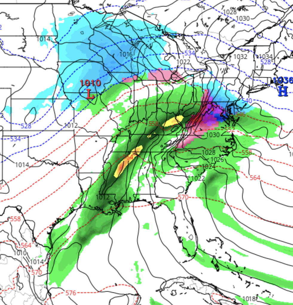
An ample flow from the same jet flow discussed last week will bring the moisture.
Unlike many snow ‘storms’ we get with deep low pressure developing along the coast in most winters, this will be another “warm air aloft over-runnng cold air at the surface” type system, actually a warm frontal type system. The actual low pressure system is weak and unimpressive. (There is some suggestion that low pressure may develop off the coast, but that is just one of many uncertainties now.)
This time, we are expected to have a somewhat deeper cold air at the surface, allowing for lingering snow and sleet before the changeover to rain.
With thermal profiles aloft playing such a huge role, we won’t have a firm handle on things until sometime Tuesday evening.
[su_note note_color=”#d9f2da”]Currently there is a range of snow totals. Precip starts early morning 7-10AM from southwest to northeast…Current estimates are in the 3-6 inch range for Philadelphia, then prolonged sleet, changing to rain in the evening. [/su_note] Stay tuned.