
Just a quick update that last night’s models showed a much higher chance of thundershowers this afternoon and Saturday afternoon. Today’s showers and thunderstorms will be the ‘pop-up’ variety; they will dynamically form in position and fall apart without moving much. Some areas won’t see any; other’s might have a significant quick downpour. The showers may pop up anywhere and anytime after 1 PM Friday and persist popping up until about 8 PM.
Here’s the High Resolution Ensemble Forecast (HIREF) for 5:30 PM today showing accumulated precipitation:
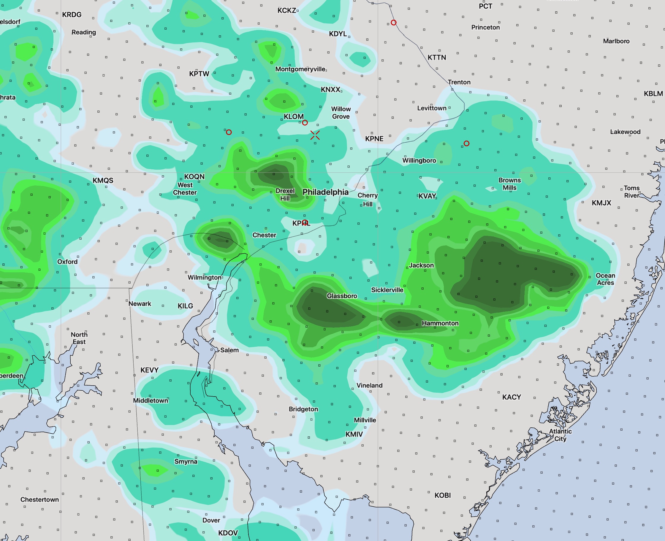
(These accumulated Precip maps as well as the TV “future tracker” stuff can’t be taken literally in terms of exact timing, position and intensity. They just give a general idea about timing and the mostly likely areal coverage. That said, the HIREF model depiction isn’t bad for these things.)
Saturday’s showers and thunderstorms will be associated with a weak front moving through. Some of the models keep these mostly to our west and barely make it into Philadelphia. Will have to see. I’ll update tonight.