
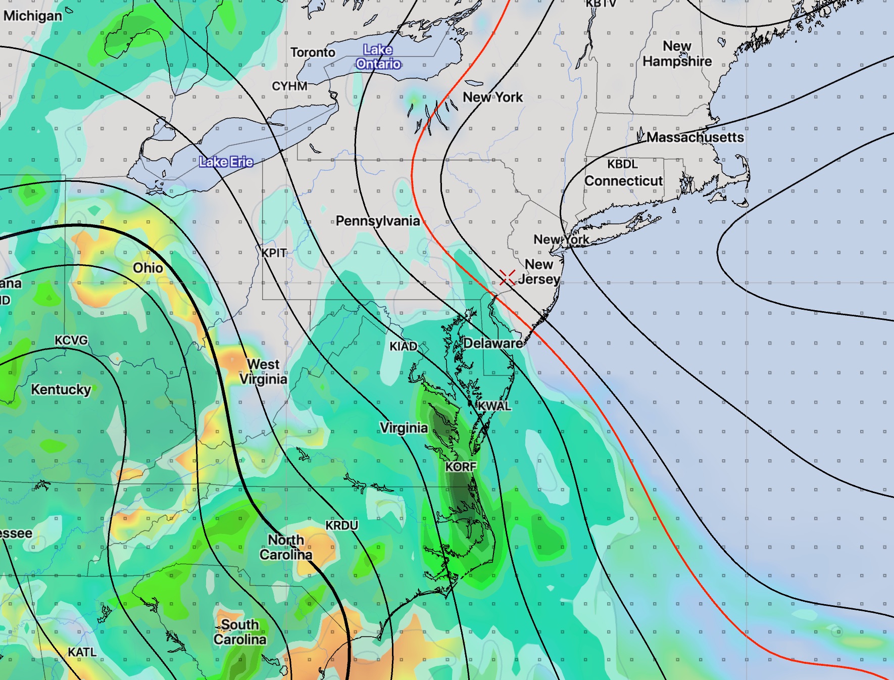
[su_note note_color=”#d9f2da”]Fri AM Update: With significant activity to our south (rain and low pressure development) in the Carolinas, the models are forecasting a layer of thin, high clouds in our area for much of Friday, Saturday and early Sunday before the lower clouds move in late Sunday. I’ll update this evening.[/su_note]
Earlier this week, (Tuesday) I wrote that the weekend looks to be spectacular, only to hedge a bit with an update Wednesday morning that some clouds may move in on Sunday.
Saturday is still looking wonderful, with low humidity and high temperatures in the low 80s. (Much cooler at the shore due to an easterly wind flow.)
Things have changed for Sunday. Low pressure is expected to organize late Sunday off the Caroline coast. Moisture is expected to creep up from the south, in the form of clouds for our area Sunday early to mid afternoon. Rain is [currently] expected to stay to our west and south (affecting Delaware) on Sunday late afternoon. Sunday will be breezy and cooler.
I’ll be updating Friday evening, as usual.