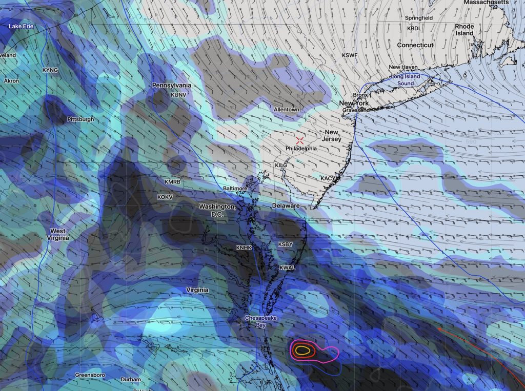
[su_note note_color=”#d9f2da”]Sat 8 AM : Sunday forecast uncertainty: Last night’s model runs show differences between the NAM (cloudy, cooler and windy High low to mid 70s) and the FV3-GFS (A mix of sun and clouds, breezy warm. High near 80. ) Will need to wait for today’s models to have a better handle on Sunday’s weather.[/su_note]
[su_note note_color=”#d9f2da”]Fri 11 pm: Tonight’s NAM shows considerable cloudiness again for Sunday afternoon. Reduced high temp on Saturday to 81.[/su_note]
Periods of high, thin cloudiness (cirrostratus) will be with us over the weekend, as this moisture high in the atmosphere (34,000 ft) is all that will be able to move towards us from the south. Rain in the Carolinas will be suppressed to our south, as high pressure builds over our area from the northwest, keeping us dry.
Saturday will be similar to today (Friday). Periods of sun and high thin cloudiness. High temperature 84 (EKDMOS) or 81 (NBM model).
Sunday is looking better than it did earlier. While it appeared that there would be more clouds than Saturday, things have changed with today’s models. Periods of sun and high clouds. it appears now that there should be more sun than Saturday! No rain expected. High 81 (NBM) or 78 (EKDMOS model).

