
#Philadelphia #weather #PAwx
Sunday Forecast Update
Update Sat 8/24 10:39 PM — A few models are showing widely scattered showers Sunday evening, dissipating just as they approach Philadelphia. The NAM-NEST and Canadian models have been consistent with this forecast, the HRRR, ECMWF and GFS show no showers. So just a possibility about 8 PM. Also, expect a fair amount of wildfire smoke haze in the afternoon.
Originally Posted Fri 7:34 PM —A somewhat blocked weather pattern continues and we will continue to be in a dry, sunny stretch of weather through the weekend.
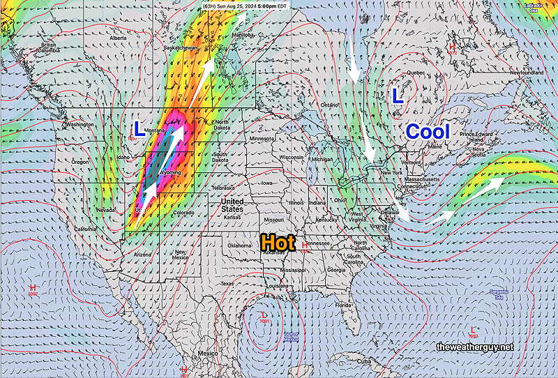
Showers are not expected until late Monday, and not all models are on-board with that.
Originally Posted Fri 7:34 PM —
Saturday Forecast
Sunny and pleasant.
NBM high temperatures: Blue Bell, PA 84º Philadelphia, PA 85º
Uncertainty (based on standard deviation): average ± 1.2º
Sunday Forecast
Sunny and warmer. A few scattered clouds in the late afternoon.
NBM high temperatures: Blue Bell, PA 87º Philadelphia, PA 88º
Uncertainty (based on standard deviation): average ± 1.7º