#Philadelphia #weather #PAwx
Posted Saturday 02/24/24 @ 10:59 PM — No significant change with Sunday’s forecast below.
Warmer temperatures beginning Monday and Tuesday. Rain late Tuesday into Wednesday and Wednesday night with even warmer temps.
Some wild weather possible with a strong cold front late Wednesday night into early Thursday morning. Thunder, strong winds look very likely.
More details later tomorrow when I post “This Week’s Weather”
I’ve updated the Winter Outlook Page.
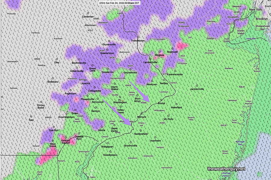
Previously Posted Fri 4:56 PM —A secondary cold front will move through Saturday morning and a clipper disturbance will scoot just to our south Saturday morning. The latest models have this disturbance mostly to our south, but the NAM-NEST and CMC-RGEM have light snow showers early Saturday morning.
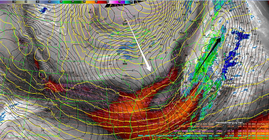
Current satellite water vapor image Friday afternoon—
Saturday
Early Saturday morning between 4 AM and 9 AM, a secondary cold front moves through with rain showers/snow showers. NO accumulation. With the front, becoming quite WINDY. Clouds break for sunshine early afternoon.
NBM high temperatures for Saturday: Blue Bell, PA 40º Philadelphia, PA 42º
Uncertainty (based on standard deviation): ± 1.2º
Sunday
Sunny and less windy.
NBM high temperatures: Blue Bell, PA 42º Philadelphia, PA 43º
Uncertainty (based on standard deviation): ± 1.7º
Looking Forward to Monday and Tuesday
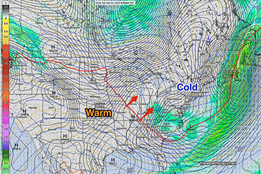
NAEFS forecast for late Saturday shows warm air waiting in the wings for next Monday and Tuesday. (Unfortunately, very warm temps approaching 70º will be accompanied by rain on Wednesday) —