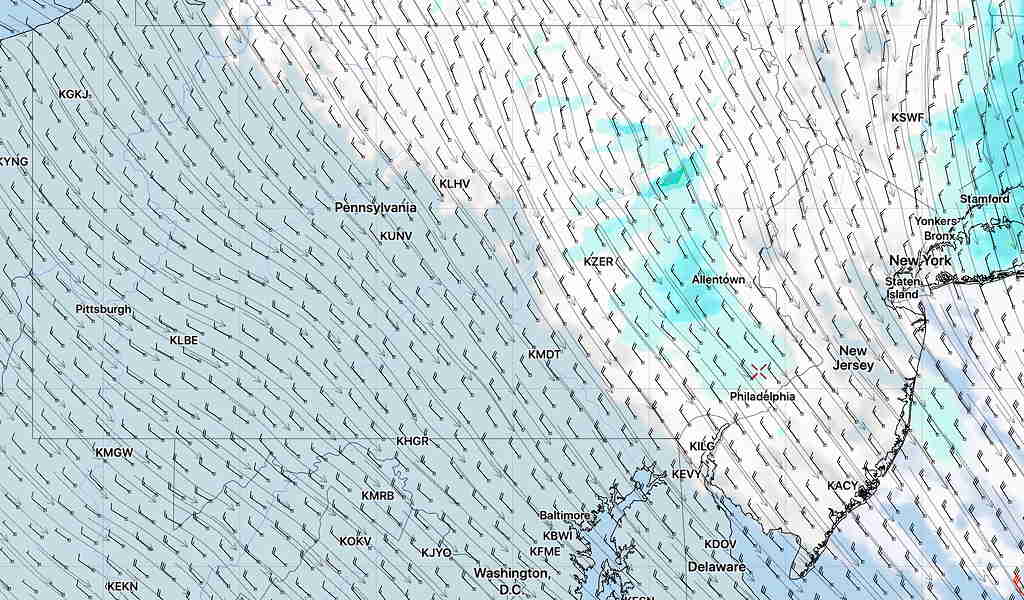
Updated Mon 08:41 AM — Latest HRRR model forecast for Fort Washington/Blue Bell:
Lull in the rainfall about 11 AM, then thunderstorms move through:
Peak wind gusts expected 12-2 PM:
Click on image for larger view:

Updated Mon 08:41 AM — Latest HRRR model forecast for Fort Washington/Blue Bell:
Lull in the rainfall about 11 AM, then thunderstorms move through:
Peak wind gusts expected 12-2 PM:
Click on image for larger view:

Brief Forecast Update:
Saturday — Mix of Sun and Clouds. High 55-57º
Sunday — Mostly cloudy, some sunny breaks possible. Chance of sprinkles late in the afternoon. High 72-73º
Last night’s HIRESW-NMMB2 model nailed the early sunshine and the showers moving through now (10AM).

It has a break in the action by 11 AM and showers move back in about 3-6PM. It has some sunshine breaking out mid-day.
(With Daylight Saving Time, the new High Resolution models become about 10:30 AM and 10:30 PM for just their first 24 hour forecasts.)