[su_box title=”Winter Weather Update: Wednesday 3 PM” box_color=”#defcdc” title_color=”#000000″]The precipitation has changed over to sleet and freezing rain about 2:30 PM, about an hour earlier than this morning’s NBM had predicted. The new NBM is proving to be the best predictor of “PTYPE”, or precipitation type. Interestingly, the hourly HRRR still showed snow for us. The afternoon run of the NAM, just becoming available, reflects the early changeover.
The question I had this morning was whether the upper atmosphere warming would cause the changeover sooner. Apparently it did.
It appears we will have several hours of freezing rain and sleet before surface temperatures rise above freezing. [/su_box]
from earlier this morning…
I’ve looked over the latest NAM data that has just become available. The QPF during the time snow will fall has dropped to 0.25 inches water or about 2-3 inches of snow in the immediate PHL area, another inch or two north and west.
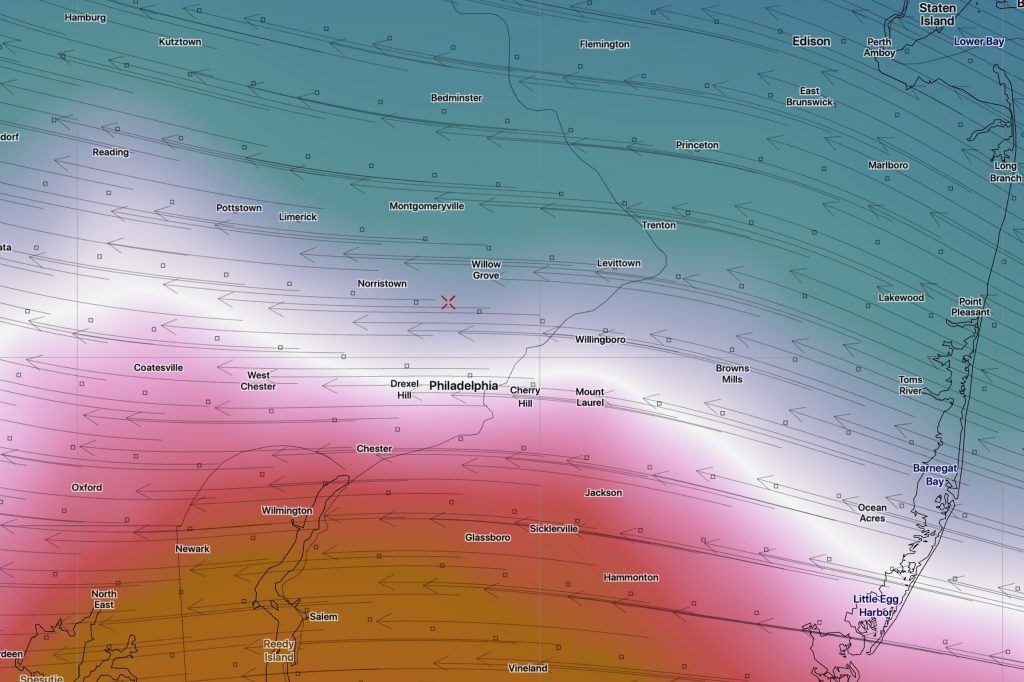
Transition time to sleet is about 3 -4 PM according to the higher resolution NAM nested grid. The graphic below depicts the changeover to sleet, the transition to above freezing, at critical levels in the atmosphere at about 3:40 PM:

So less snow expected.
An extended period of sleet and some freezing rain, as temperatures remain at or below freezing until 7 PM just outside the city. Then heavy rain tonight, ending before daybreak. A heavy soggy mess tomorrow morning.
from earlier this morning…
Last night’s 1 AM (06 UTC) (“off-hour”) models show little change. Current radar at 8 AM shows snow starting a bit earlier than predicted; it’s right at our doorstep. Last night’s ECMWF (European) maintains about 3-4 inches in the immediate PHL area.
Of interest is the latest NBM, the National Blend of Models. It has the changeover and the mix with sleet occurring earlier, about 3-4 PM.
The big question in my mind with this storm will be how much snow can we get when the upper atmosphere is expected to warm significantly in the afternoon, while the lower atmosphere (below 6000 feet) remains below freezing until 4-6 PM.
The new morning model runs data starts becoming available in the next hour (NAM) and the next two hours (GFS). I’ll be downloading it and updating the forecast soon.
