
With this afternoon’s model runs in, I thought I’d dust off my winter parameter model download scripts.
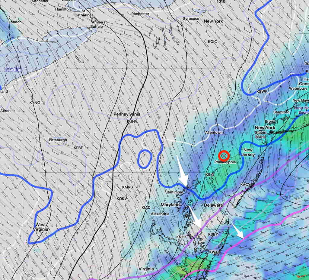
Here is the latest NAM forecast for 3AM Saturday morning, showing simulated radar and critical snow temperature levels (the white arrows).
It shows our area is cold enough for snow formation (except it will be in mid 30s at ground level).
I hadn’t seen this for just about all of last winter!