Updated Forecast- the weekend is looking better!
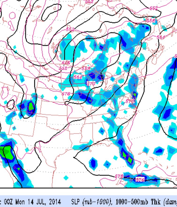
Our seemingly endless string of perfect weekend weather may be ending this coming weekend. Weak high pressure will allow a southwesterly flow of warm, humid air over us, as an upper air trough tries to build down from Canada late in the weekend.
The latest models have delayed the wet weather to Sunday evening.
Saturday looks to be nice hot summer day, as high pressure controls our weather. On Sunday, the upper trough approaches bringing clouds and showers early evening.
The trend of unsettled weather likely extends Monday into Tuesday.
Sat 7/12: Mostly sunny and very warm. High near 90.
Sun 7/13: Some sun early, then increasing cloudiness. It looks like showers wait until evening. High 86.
Check out comments area for updates