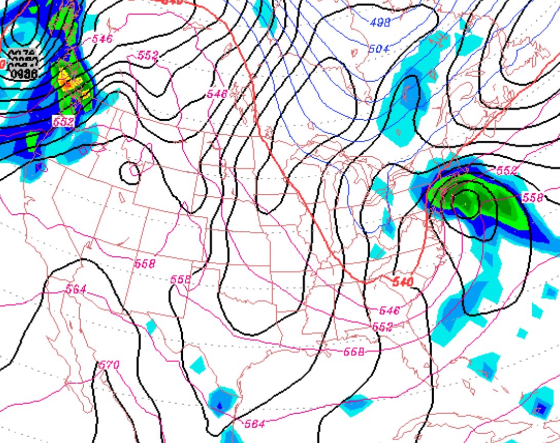
For the past week, the European model, the ECMWF, has suggested the formation of a coastal low pressure system in the Sunday to Tuesday time frame. The GFS has only gradually come onboard with this possible scenario, but last night’s GFS is developing a slow moving coastal low, bringing heavy rain and and changeover to snow late Tuesday to Wednesday.
For most of last week, the GFS advertised a warm up with cold air sequestered in Canada and the low pressure development out at sea.
The GFS is now advertising much more of an amplified jet stream and a deepening hug-the-coast storm. In fact, the jet stream becomes negatively tilted with the storm track blocked, resulting in a slow-mover (read, high precipitation)
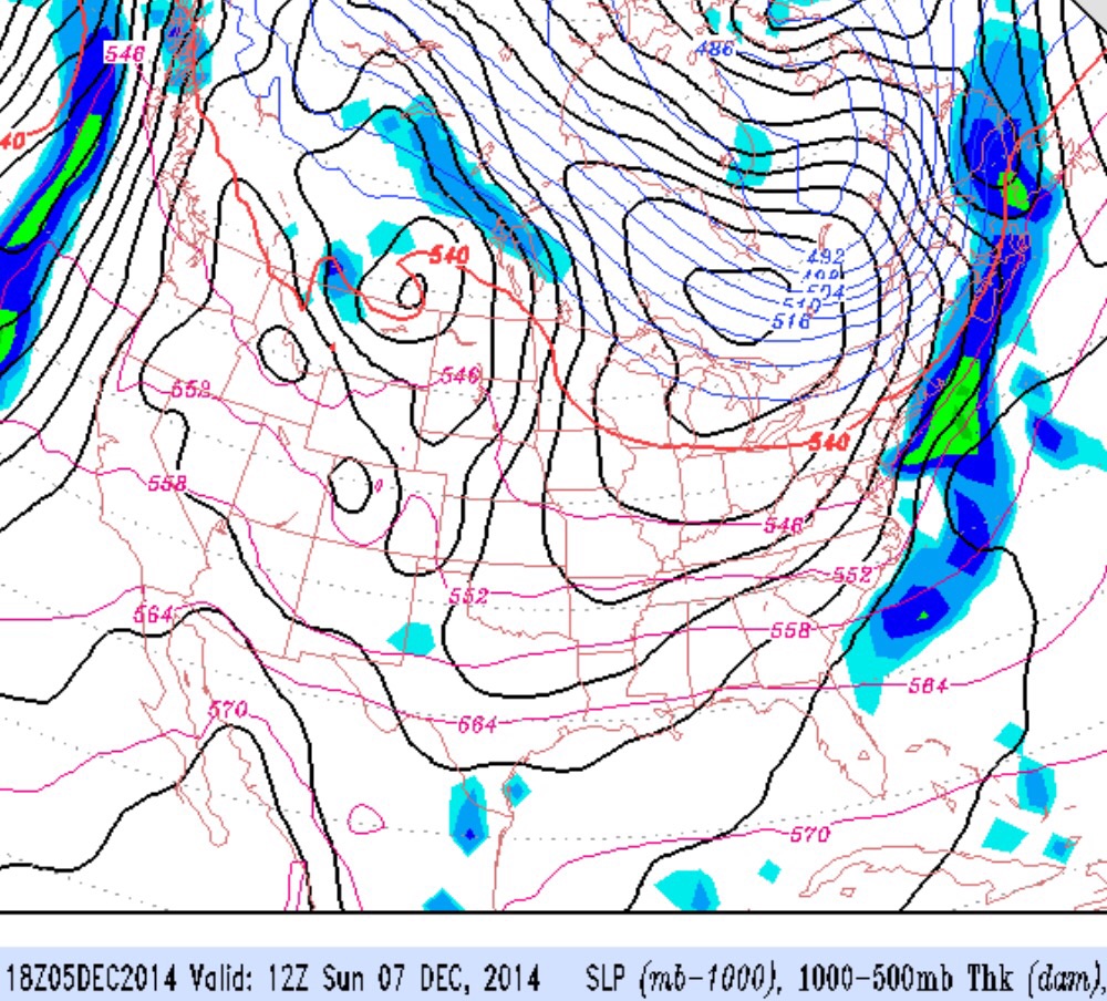
So, the GFS has finally caught up and the NWS extended range forecasters have been on-target in anticipating this coastal low development.
Many unknowns with this as-yet undeveloped storm- the degree of amplification of the jet stream, the degree of negative tilt and the degree of blocking. What this means is that we don’t know if it will be heavy rain or heavy snow or whether this will be a slow mover.
Right now, it looks like mostly heavy rain for NJ and SE Pennsylvania, but a changeover to snow is very likely late Tuesday afternoon and Tuesday night. A couple of inches is possible and the wrap-around snow may linger into Wednesday morning. Doesn’t look like a major “stormstorm” for our area at this time but a different story for interior New England.
With this storm in the hypothesized, unformed stage, we won’t know specifics about rain-snow line and snow amounts until late Monday.