Philly Blizzard Update Sat 9:45 AM

Ok, I said I was done with the updates, but here’s another.

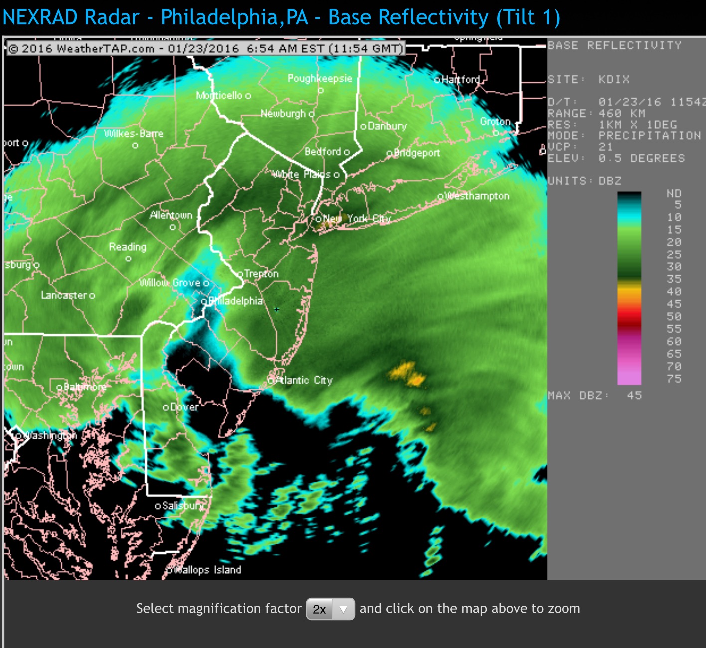
The latest NAM data shows a QPF of over 1 inch water from 7AM this morning through a bit after 10 PM this evening.   With temperatures so low in all levels of the atmosphere, expect a high snow-water ratio.

So whatever accumulation you had this morning, add about 15 or so inches to it.   That should bring it to about 25-30 inches in the PHL area.   Areas to the north, west and central NJ may get more than 30.

The heaviest snow will be between now and 1 or 2 PM.

10:45 AM – The latest GFS has 0.70 inches water falling as snow between 7 AM and midnight.


Philly Blizzard Update – Sat 6:30 AM

The 1 AM runs of the NAM and GFS were similar to the earlier Friday evening runs.  The NAM still has a QPF of over 2 inches water, with the GFS somewhat less.    25-30 inches of snow in PHL, maybe more if the temps stay low and the snow:water ratio increases, and with 30+ inch  amounts possible west and north of PHL and into inland central NJ.

A dry slot is developing over PHL right now (6:45), but the snow will return. 

Dry slot on radar (Weathertap.com)

Both models have the snow tapering during the late afternoon and ending during the evening hours tonight (Saturday).

With tempertures running lower in the areas west of I-95, I’m hoping that the snow won’t stick to power lines, reducing the chances of power outages despite the high winds.  In areas where the temps get near 30 (southern NJ), sticking heavy snow may be more of a problem  with trees and power lines.

I think I’m going to take a break from these forecasts for the rest of the day and enjoy the snow.   If  things change, I’ll update.


Philly Blizzard Update – Fri 11pm

Tonight’s GFS data just became available. No major changes.  The GFS QPF remains about 1.80 inches water and the snow ends early  Saturday evening.

With these situations, averaging the NAM and GFS QPF values gives us 2 inches water falling as snow through early evening Saturday.  A guess at 13-14 inches of snow for each inch of water will give us a range of 25-30 inches of snow for the immediate PHL area.  Areas far north and west may get more if the  NAM is correct.  Drifting will make areas of snow seem deeper.

Let’s hope the power stays on.  Now, it’s time to see what actually happens.


Weather… and Other Things 'Up in the Air'