Saw this beautiful Tree Swallow protecting its nest in Fort Washington State Park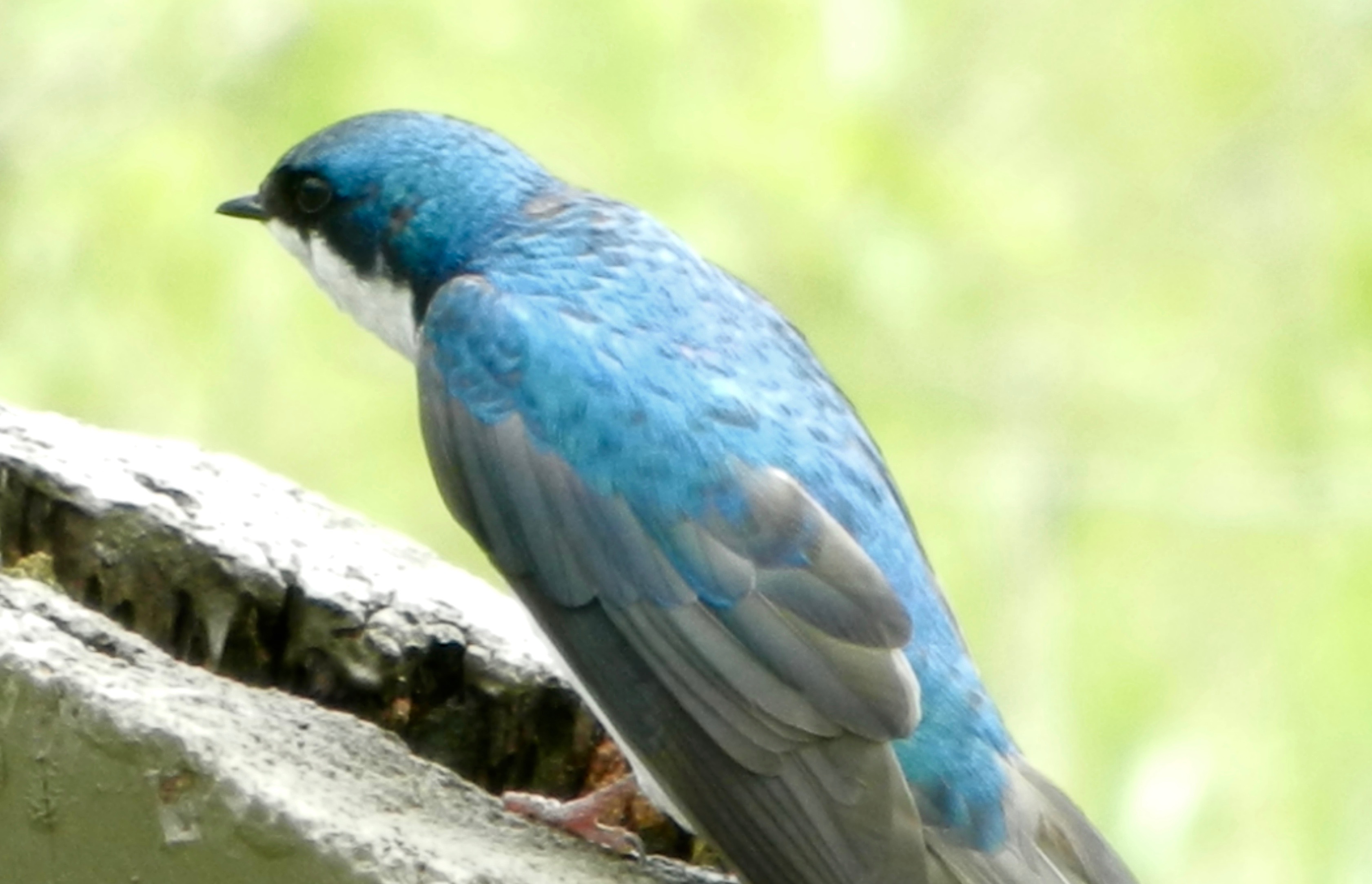


Saw this beautiful Tree Swallow protecting its nest in Fort Washington State Park
Yesterday’s rain did occur mostly in the (late) afternoon, but the models didn’t exactly hit a home run with the forecast. (The precip was further north and west for most of the day than previously expected.)
Such is the case with upper level closed low forecasts– the exact placement of the precipitation maxima are difficult to forecast.
Today’s forecast accuracy will also be affected by the same situation. The GFS initialized LAMP forecast has a continued chance of showers here for much of the day. The NAM initialized HRRR forecast has the upper low pivoting the moisture away from us, with most of the rain in MD and DE during the afternoon.
The HRRR did well yesterday, so we’ll see if the rain stays mostly to our south in the afternoon.
The GFS model has been consistently predicting low pressure to approach our area from the southwest and bring heavy rain to PHL for Saturday, as a coastal low forms over the Delmarva area. (For the record, the European Model had it moving south and missing us until recently.)
Saturday will be cloudy with rain, fairly heavy, beginning about 8-9 AM and continuing through the day. High 63.
An upper cyclonic flow over our area on Sunday, with an area of vorticity rotating through during the day will keep mostly cloudy skies for most of Sunday (maybe some bright spots) with a persistent chance of scattered showers, especially during the afternoon. (Any sunshine will be of the self-destructive form, due to instability.) High 67.
10pm update: latest NAM has most of the rain holding off until afternoon on Saturday.