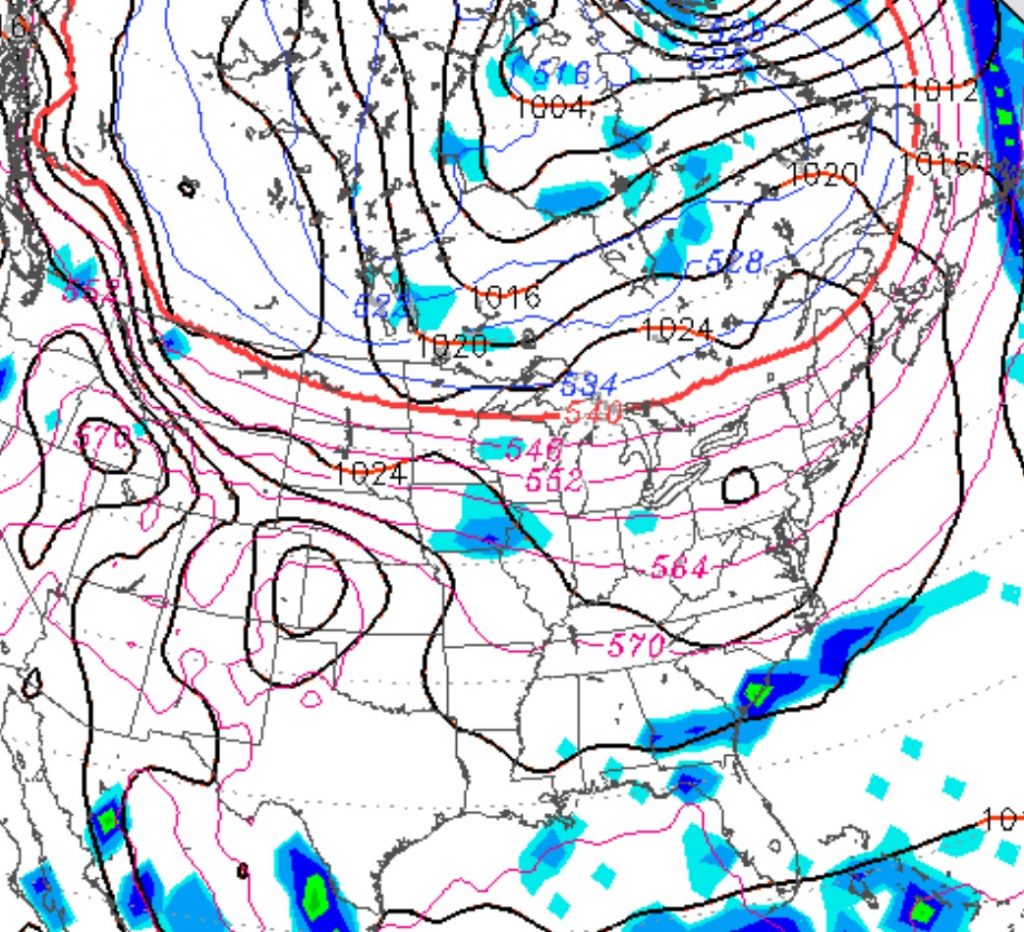
High pressure that brought the easterly flow with cooler and dry weather today will depart as a warm front moves slowly through over the day on Saturday. The warm frontal passage is expected to be dry.
[su_box title=”Forecast Update” box_color=”#defcdc” title_color=”#000000″]We had some light drizzle Saturday morning that was not predicted be the models. Currently, skies should start to clear with some sun in the early afternoon. Unseasonably warm and humid conditions for Sunday afternoon.[/su_box]
Saturday is expected to be mostly cloudy with gradually increasing humidity. Skies may brighten at times, especially mid to late afternoon. Highs near the average for early October, in the low 70s.
As the front moves north late Saturday, the clouds will lift and we’ll have warmer temperatures in the evening with dew points in the mid 60s.
For Sunday, partly to mostly sunny skies, unseasonably warm and humid. Highs near 83.

