THUNDERSTORMS THIS EVENING, A NICE WEEKEND

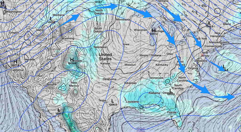
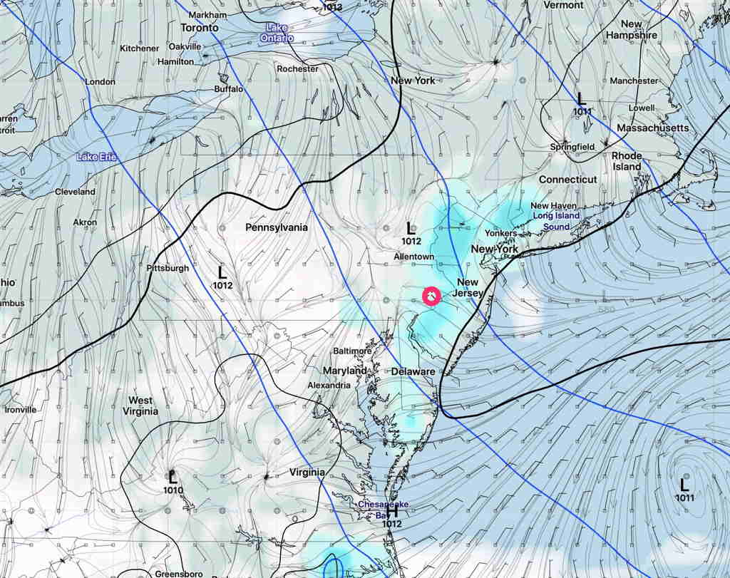
We could use some rain in this neck of the woods, and according to the models, we should see some showers and thunderstorms move through the Philadelphia area and suburbs between 7 and 10 PM  Friday evening.

(The models have been back and forth about the areal coverage of these showers, but [most of] Friday afternoon’s models are more on board for an area of showers to move through ahead of a backdoor cold front. )

The ‘cold’ front will bring a slight drop in temps for Saturday.   It will wash out over us and temps will rebound to the 90s on Sunday.

Some low cloudiness may linger through the morning hours on Saturday, but skies will break for sunshine by early afternoon. 

Saturday —

  • Cloudy in the morning, then sunshine in the afternoon. (Cloudiness may linger in NJ longer.)
  • High temps 88.5º sd 1.3º
  • Winds light NNE 7-10 mph becoming southerly Saturday evening

Sunday —

  • Sunny and hot
  • High temps 92.6º sd 3.8º (large uncertainty/spread!)
  • Winds light NW  5-8 mph

A heat wave is on tap for much of next week.  (defined as temps >= 90º for 3 or more consecutive days). 

4TH OF JULY WEEKEND WEATHER OUTLOOK

[su_note note_color=”#ffffff”]Updated Thu 08:59 PM — Tonight’s model blend shows a high temperature on Friday of 94.6° sd 2.8° (Blue Bell) 96.6° sd 2.0° (Philadelphia Airport).[/su_note]
A  summertime pattern will deliver a fairly uneventful weekend forecast and fairly nice weather for the 4th of July weekend, although there are some questions about some cloudiness on Saturday.

Note that this pattern is not the usual Bermuda high off the east coast, but instead a high pressure ridge in the center of the country and a slight trough over our area .

SREF forecast Saturday (Click on image for a larger view.)

The trough’s upper cyclonic curvature will allow some typical late afternoon thunderstorms, very widely scattered almost every day.  Most areas will remain dry and the dry weather pattern I spoke of last week is still with us.

The highest temperatures will occur on Friday (Hi 94º) but a backdoor cold front from the northeast will move through Friday night as a result of a small wave in the upper flow.   This will give us an enhanced chance of widely scattered showers and thunderstorms Friday evening.

Saturday, after the passage of this front, will have northeasterly wind flow.  Some models (notably the GFS version 16, experimental) have some cloudiness Saturday afternoon with some afternoon showers.   High 87º.

GFS version 16 Pre-release Saturday 5 PM forecast (Click on image for a larger view.)

Sunday looks to be sunny and warmer, high near 89º.


Weather… and Other Things 'Up in the Air'