WEEKEND WEATHER FORECAST

[su_note note_color=”#ffffff”]Updated Sat 08:59 AM — The pre-dawn model runs are a little more optimistic about the sunshine today.   The GFS has only high level (cirrus) cloudiness until lower clouds move in later in the afternoon; the high resolution models have thicker mid-level cloudiness as early  as 2 PM.  More clouds far north and west, less cloudiness in NJ.   High temp 63.8º sd 1.5º.  Very light winds [/su_note]

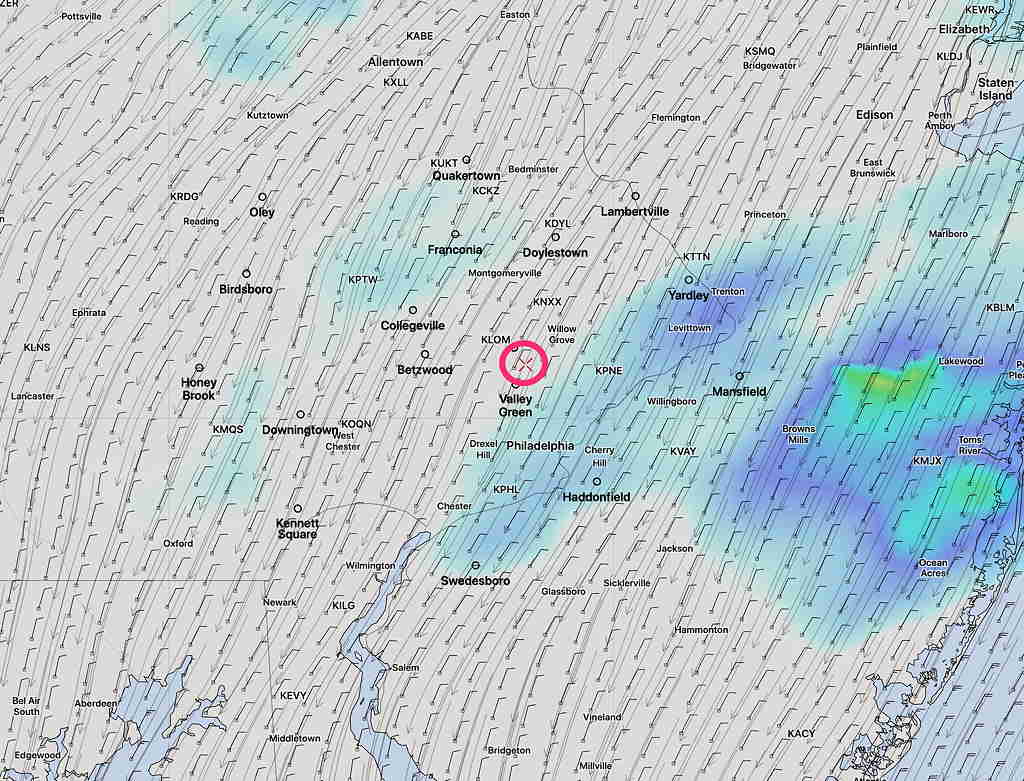
Today’s rain lasted longer than forecast.

Tonight’s models suggest a change in the forecast for Saturday.  Saturday was originally expected to be mostly sunny for a good part of the day.

Tonight’s models are forecasting increasing cloudiness much earlier in the day.  Saturday may start sunny, but it appears that high and then mid-level cloudiness will start moving as early as 12 noon.  There may be some bright spots in the cloud cover mid-afternoon, but overall cloudy.  (New Jersey may have more sun.)

High temperature 63.5º sd 2.3º. Light winds.

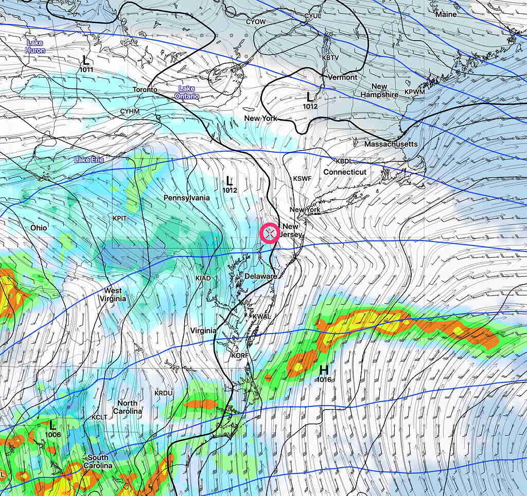
Sunday will be cloudy with rain, heavy at times, especially mid-day.  High 55.5º sd 4.5º (high spread in possible highs)


FRIDAY FORECAST

[su_note note_color=”#ffffff”]Updated Fri 12:51 PM — Quick Saturday Outlook: The models becoming available now show a rather short period of sunshine for Saturday.  Some cloudiness Saturday morning  will break for sunshine, but clouds move back in from the west as early as 2-3 PM.  Light showers possible by evening. [/su_note]

[su_note note_color=”#ffffff”]Updated Fri 10:51 AM — Latest HIRESW has the showers continuing through 4 PM.[/su_note]

Low pressure will gradually move away today. The heavier rain tapers off from southwest to northeast about 1 PM but the latest HRRR still shows some light scattered showers as late as 2 PM.

Otherwise, cloudy.  High temp 51.1º sd 1.2º

HRRR 2PM Simulated Radar forecast. Click on image for larger view.

THURSDAY FORECAST

Updated Thu 08:34 AM — This morning’s models show little change from last night’s update. Considerable cloudiness, but breaks of sunshine possible during the day. Some models have some light sprinkles as early as 4 PM, but the bulk of the rain comes in 6- 8 PM.


Updated Wed 10:10 PM – Tonight’s models have the rain starting in the early evening instead of late afternoon. Still some sprinkles early morning, then clouds with occasional sunny breaks before the rain arrives 6-8 PM.


[su_note note_color=”#ffffff”]After those sunny skies today, I’m not going to use the RAP pre-release version until it’s ready for prime time. See my previous forecast post.[/su_note]

A well-advertised rain event will be moving in late in the day Thursday.  Model runs earlier in the week had the rain starting early afternoon, but the trend has been for a light sprinkle around daybreak and then the rain moves in between 3- 5 PM.  Most of the daytime hours will be cloudy but dry.  (There are a good number of models that have the rain coming in a bit later than 5PM)

High temperature: 58.4º sd 3.8º   Breezy.

GFS Cloud Precip Wind Pressure forecast 4:30 PM Thursday

The rain will be heavy Thursday night. About 1.5-2 inches of rain expected before ending Friday morning

The heaviest rain ends early Friday morning, but the GFS keeps clouds and some scattered showers through much of the daytime Friday.  There’s some uncertainty whether skies clear Friday afternoon,  but the GFS keeps us wet and it did well during the last rain that we had.

Weather… and Other Things 'Up in the Air'