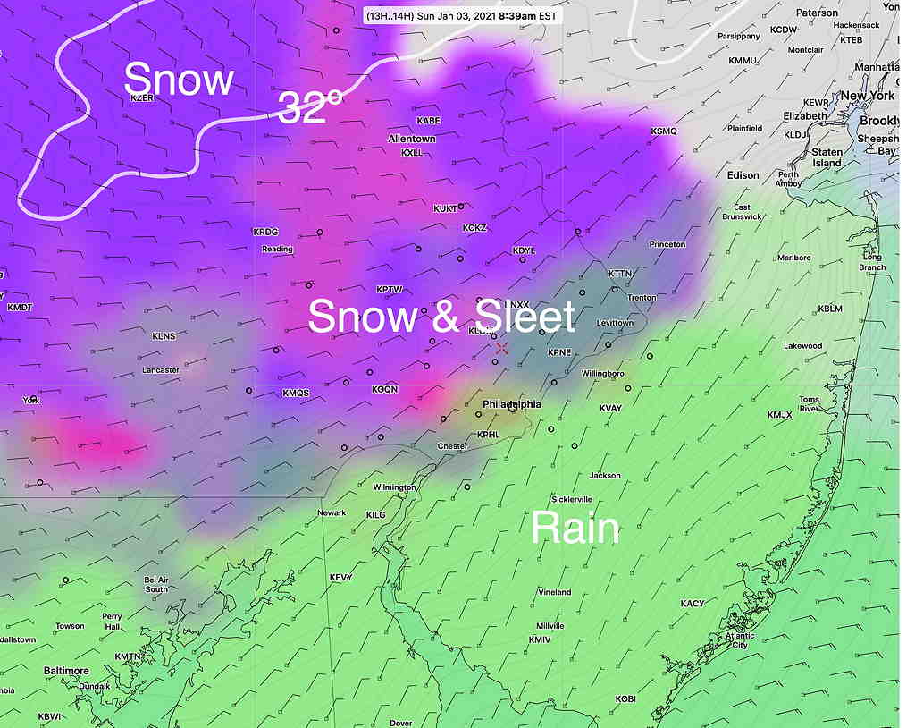
Over the past several days, I’ve mentioned the new “parallel” GFS v 16 model and specifically wondered whether it was going to provide new insights into today’s weather forecast, specifically what sort of ‘precipitation type’ (the model parameter referred to as “PTYPE”— rain, sleet, freezing rain or snow) we would get with today’s storm.
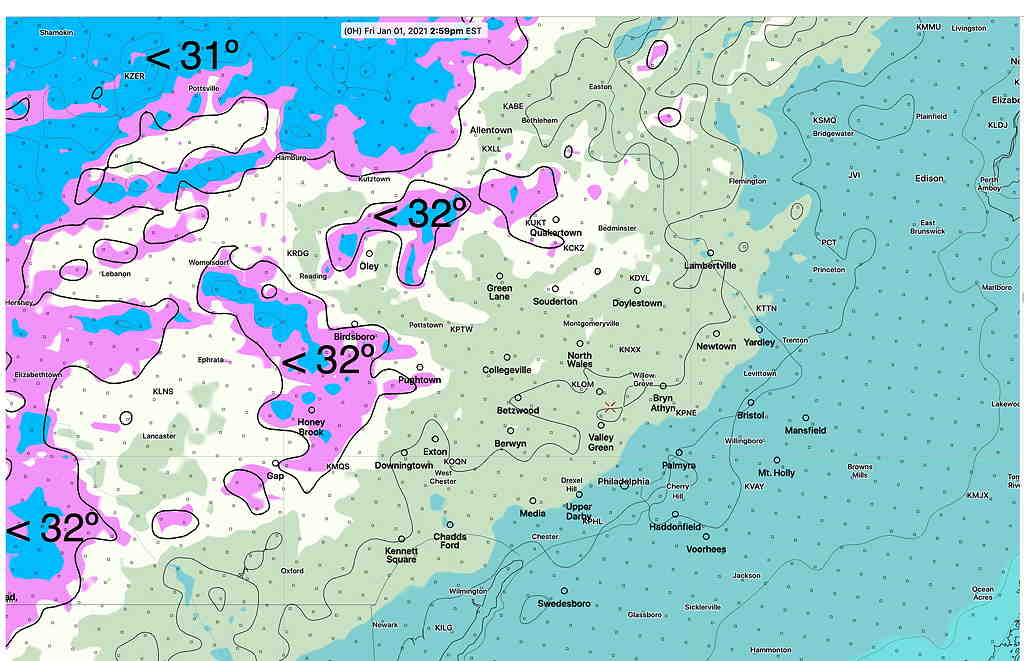
The GFS v16 was one of the few models that were predicting snow at the precipitation onset; most of the higher resolution models (NAM, NAM-NEST, HIREF and HIRESW) were predicting freezing rain or rain. Indeed, I thought there might be a ‘cold bias’ with the new GFS that would need to be discounted. But not so. The GFS v16 also has correctly predicted the snow and the changeover to rain that is occurring as I write this. (The GFS PTYPE forecast from Saturday afternoon was posted in yesterday’s update.)
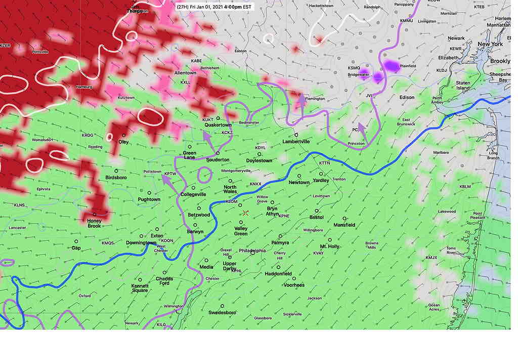
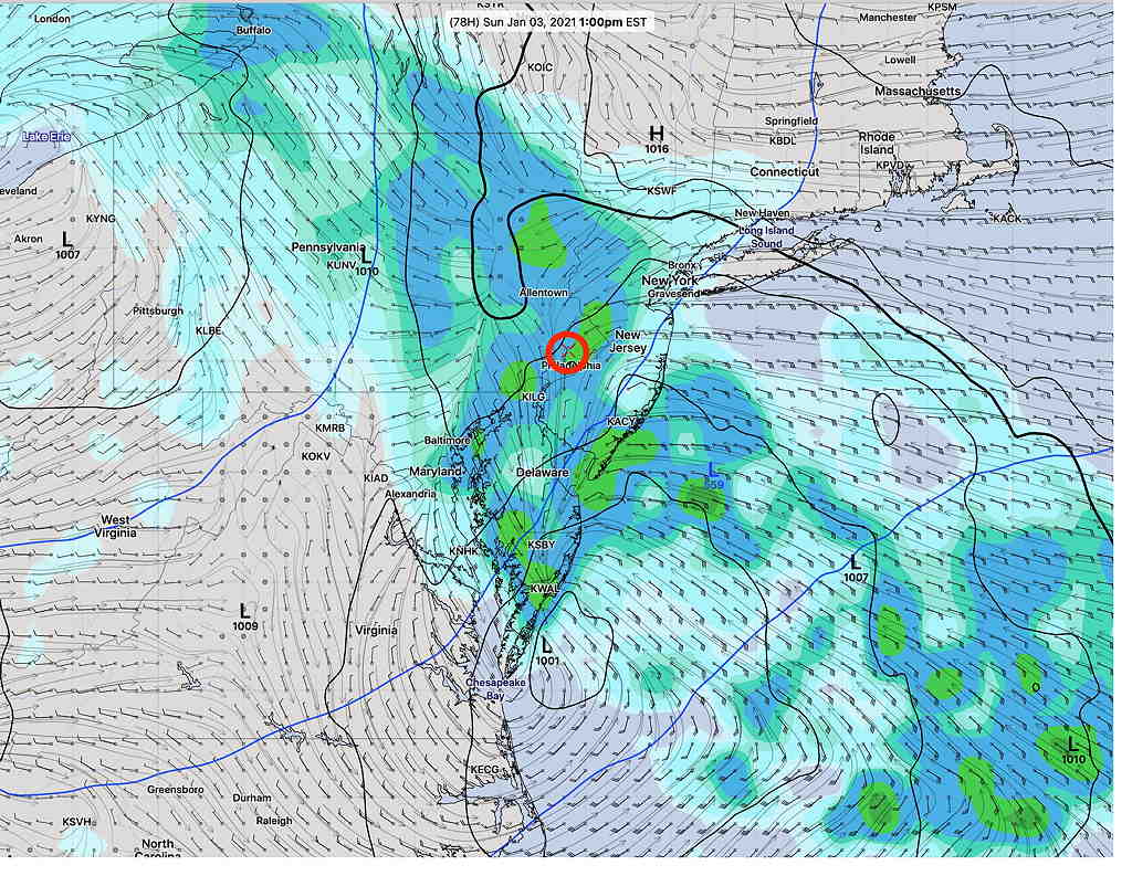
Let’s look at some other model forecasts from last night:
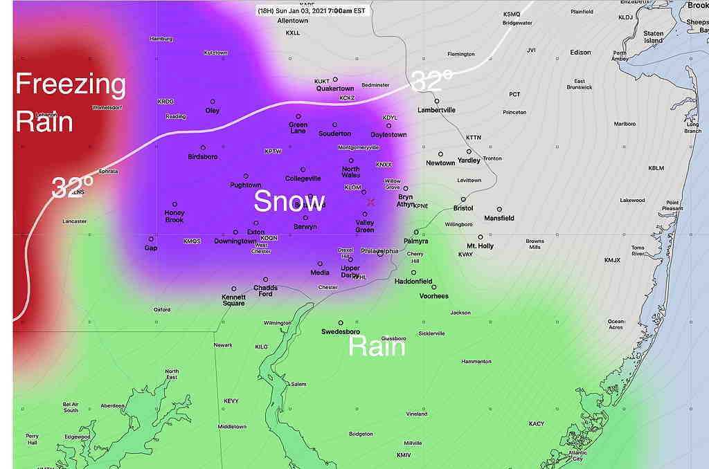
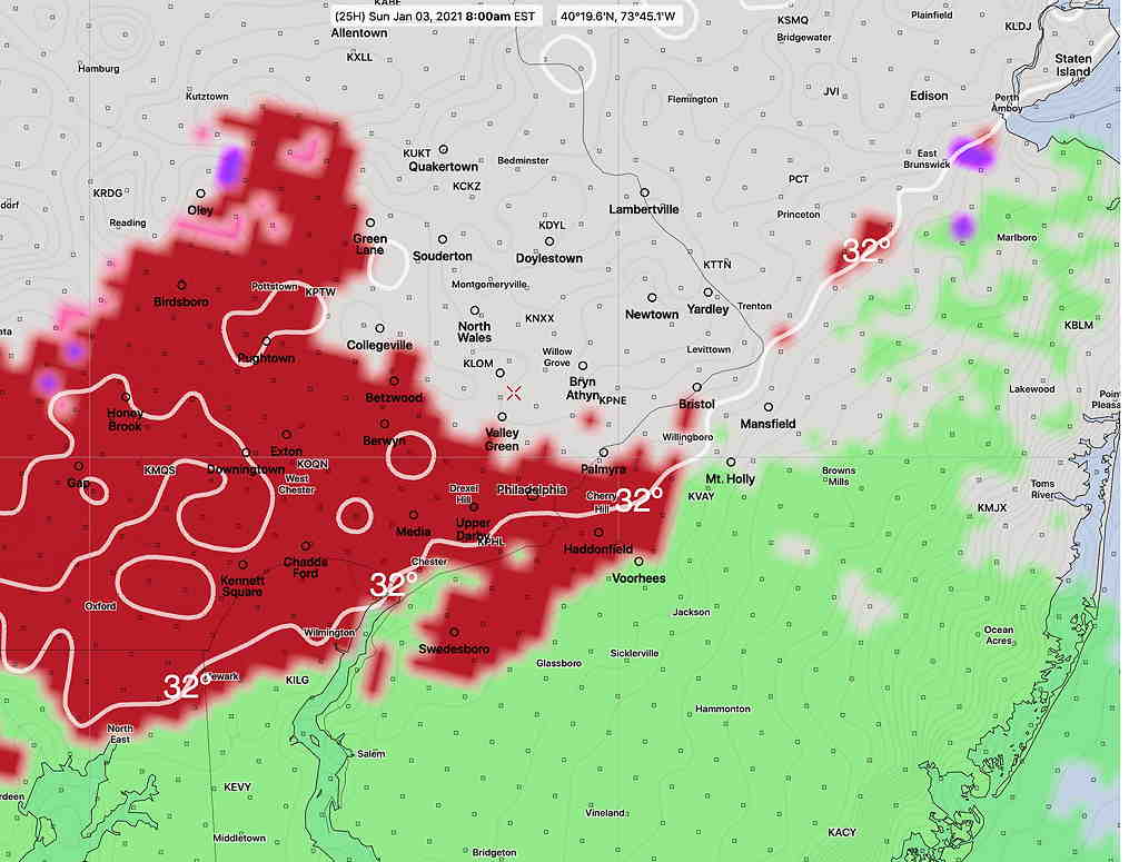
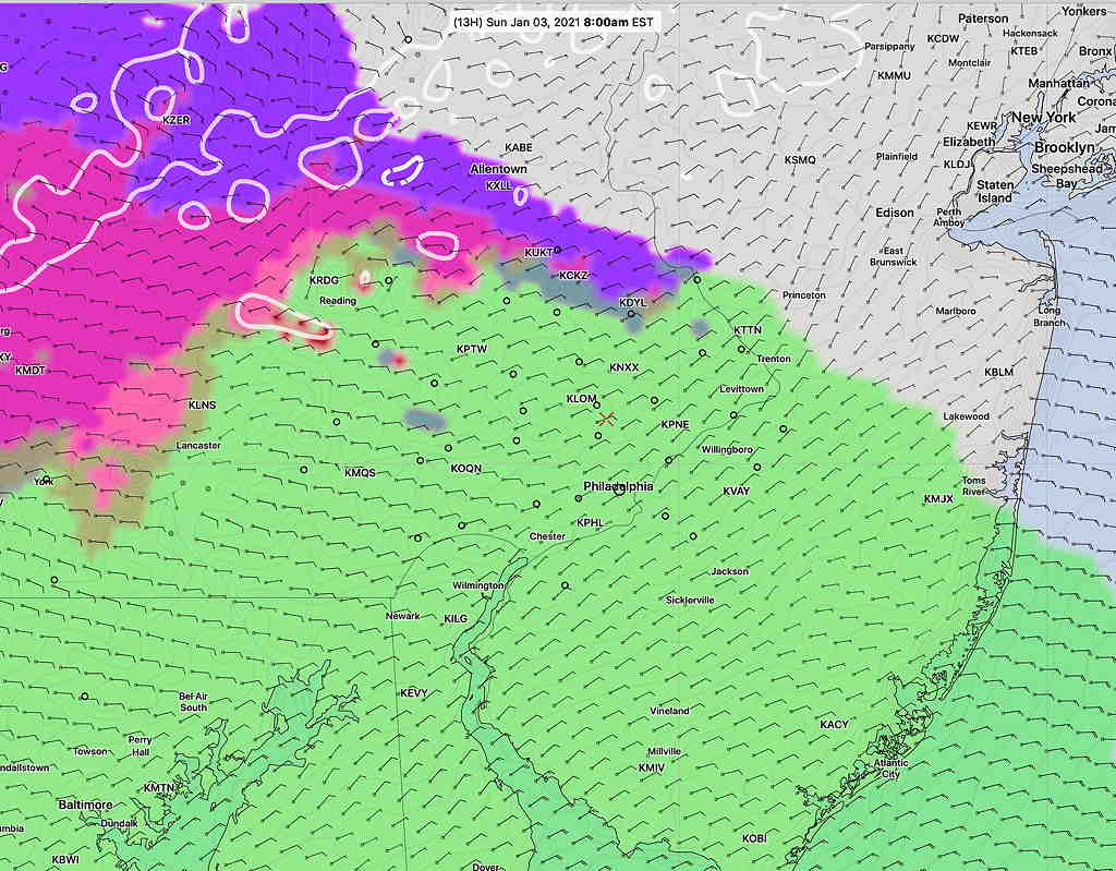
Here’s last night’s RAP (Rapid Refresh model)—
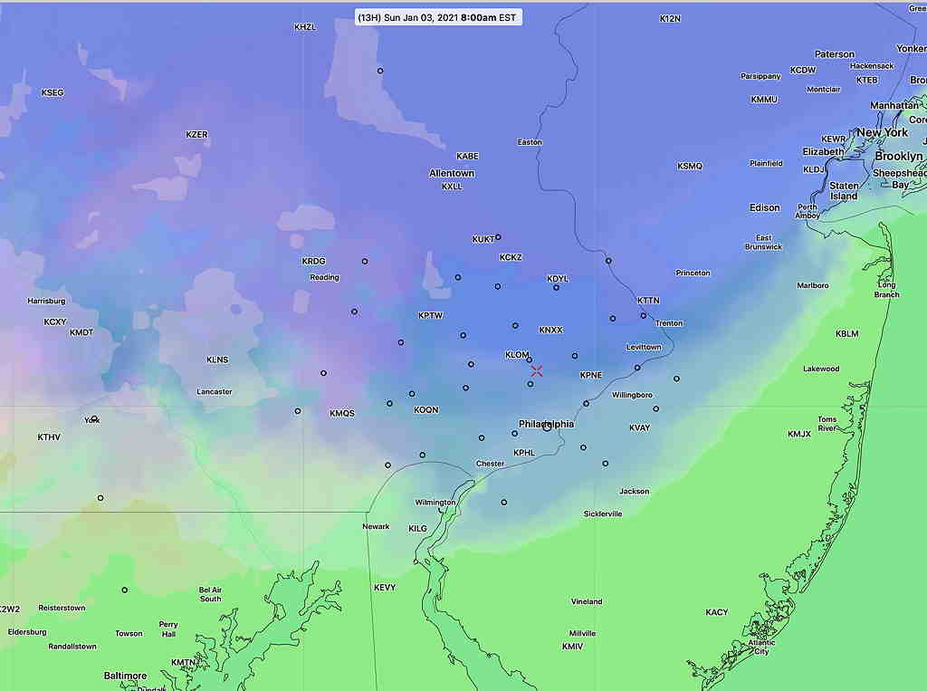
And here’s last night’s HRRR—
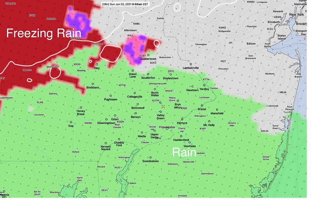
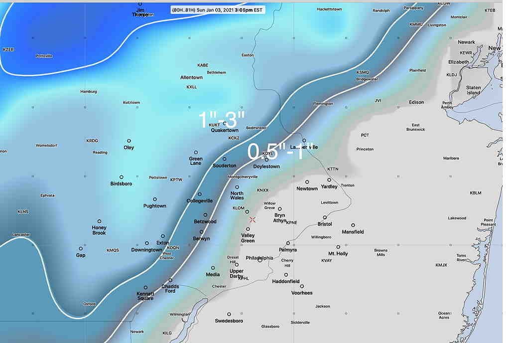
In retrospect, last night’s model blend (NBM) correctly captured the snow onset instead of rain—
So, if we ever get any real snow this season, we have the new GFS, RAP and NBM to rely on.
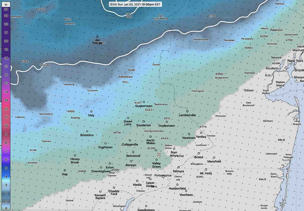
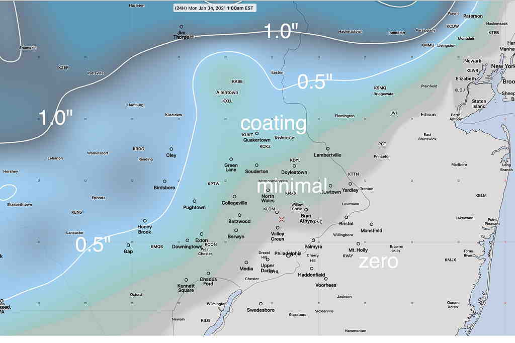
While we’re on the subject, the latest GFS 16 has the following snow totals by 1 AM Monday—
As mentioned in another post, the temperatures north of us are running way too warm. The Climate models show above average temperatures to our north for the next month or two. So we might not be talking about all that much snow this season. Then again, warmer than average temperatures don’t necessarily translate into less snow or fewer storms. I guess we’ll see.