[su_box title=”Late Afternoon Update” box_color=”#defcdc” title_color=”#000000″]A quick look at the afternoon NAM and HRRR suggests the snow will be very light tonight. The NBM has snow starting about 8-9 PM, but the latest NAM holds it back even later.
The HRRR and RAP have about 1-2 inches of snow by daybreak here, before the changeover to sleet and some freezing rain about 7 AM. The sleet may be heavy for about 2 hours, then heavy rain. As for wintery precipitation, this storm will have the biggest impact in the (far) northwest suburbs. I’ll update this evening. [/su_box]
from earlier today:
The latest NAM and GFS data has become available. Both models have returned to their earlier predictions of having the precipitation suppressed to our south for the balance of the day by cold air that is building in from the northeast. So cancel that snow for the daytime hours.
Both models maintain a very cold low level flow from the northeast, while upper winds bring warmer temperatures aloft. A complicated forecast.
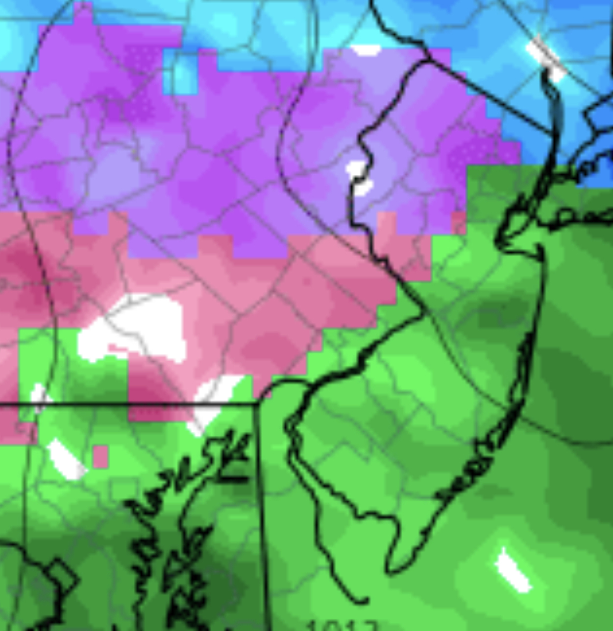
For Philadelphia and immediate suburbs: Both models have the precipitation moving back to the north Monday evening. The NAM and GFS has snow returning northward to our area between 8 and 10 PM tonight. Depending upon your model of choice, about 2-4 additional inches of snow will fall tonight before 5-7 AM Tuesday.
Temperatures at critical levels of the atmosphere will rise and cause the precipitation to mix with and fall as sleet. This should happen between 5 and 7 AM Tuesday morning, but somewhat later in the far northwest suburbs.
Sleet will fall in the early morning and mix with and change to freezing rain, and then all rain by about noon. There is the possibility that this transition to rain may be delayed, especially in the far northwest suburbs.
Heavy rain for the balance of Tuesday. Total QPF for this storm will be about 2.0 inches of water, falling as snow, sleet and rain as outlined above.
Updates later this evening.