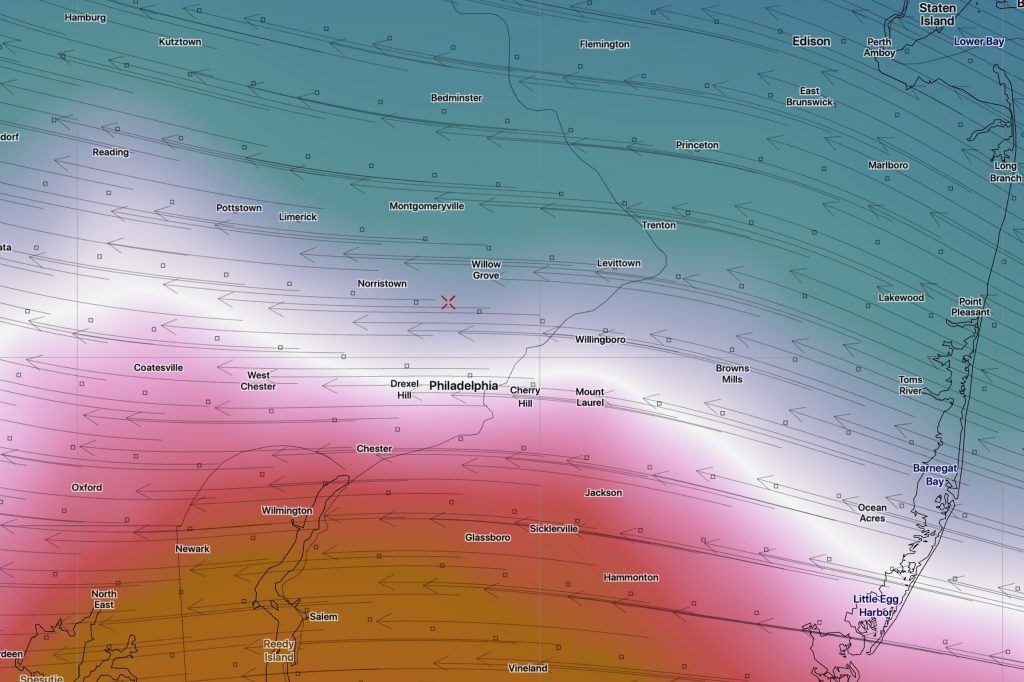
[su_box title=” Forecast Update Wed 9 PM” box_color=”#defcdc” title_color=”#000000″]Tonight’s NAM has reduced the QPF to 0.13 inches water. It’s typical, as pointed out last night, for the NAM forecast QPF to reduce as it did between last night and tonight. So we’re down to about an inch of snow, falling late Thursday night and ending early Friday morning. Despite the minimal QPF, the snow falling during nighttime will allow for accumulation. Higher amounts near Delaware. The GFS from this afternoon still showed no snow. Still a low confidence forecast. [/su_box]
[su_box title=” Forecast Update Wed 6 PM” box_color=”#defcdc” title_color=”#000000″]Today’s NAM continues with light snow for late Thursday night, ending daybreak Friday. QPF values have reduced to 0.17 inches water, or about 2 inches of snow. The GFS continues with no snow for us. Still a low confidence forecast.
Of increasing interest is a persistent GFS forecast for snow Sunday afternoon into Sunday night. The models have been quite inconsistent, as mentioned in previous posts this week. However, right now, the GFS is forecasting a 8-10 inch snowfall for us. Expect changes. Stay tuned. [/su_box]
As mentioned earlier today, there’s lack of continuity and agreement with the model forecasts for this week, but the past several model runs of the NAM show a weak disturbance moving just to our south Thursday night into Friday.
Tonight’s NAM just available shows a strengthened low which brings snow late Thursday night, ending early Friday morning. QPF values tonight approach 0.45 inches water, which would be a significant snowfall of 4-5 inches.
The NAM tends to overstate QPF early on and the GFS has been unimpressive with this low pressure development. But this needs to be watched. Stay tuned.

