[su_box title=”Quick Mobile Update” box_color=”#defcdc” title_color=”#000000″]Heavy shower/storms Sat evening.
May need to move that up an hour to 4 PM today.
Sunday- chance of clouds and showers early afternoon.
[/su_box]
The GFS joined last night’s mesoscale models with showers and thunderstorms between 5-8 PM tonight. The GFS has the activity mostly in Bucks county, but that’s likely an outlier.
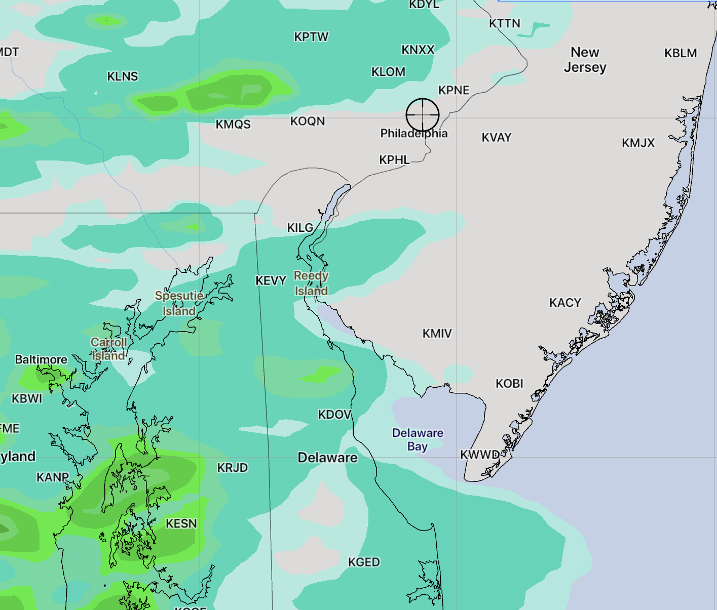
For Saturday, the mesoscale models (NAM, WRF, HIRES) continue with a forecast of showers and thunderstorms, some very heavy, for all of the PHL area. While some activity may break out in the far northwest suburbs as early as 3 PM, the models show most of the activity will be between 5PM and 8 PM. The heaviest activity appears to be in Bucks county, but the models aren’t really capable of pinpointing this so accurately. Clouds should increase by 4 PM.
For Sunday, the upper low over New England will cause a disturbance to rotate through our area to our north. Some areas north of Allentown will have showers on Sunday.
The immediate Phladelphia area will have sun in the morning and some cloudiness in the early to mid afternoon. Temps reduce to the mid 80s with lower humidity.