Category Archives: Philadelphia Weather Outlook

TODAY & THE WEEKEND WEATHER OUTLOOK

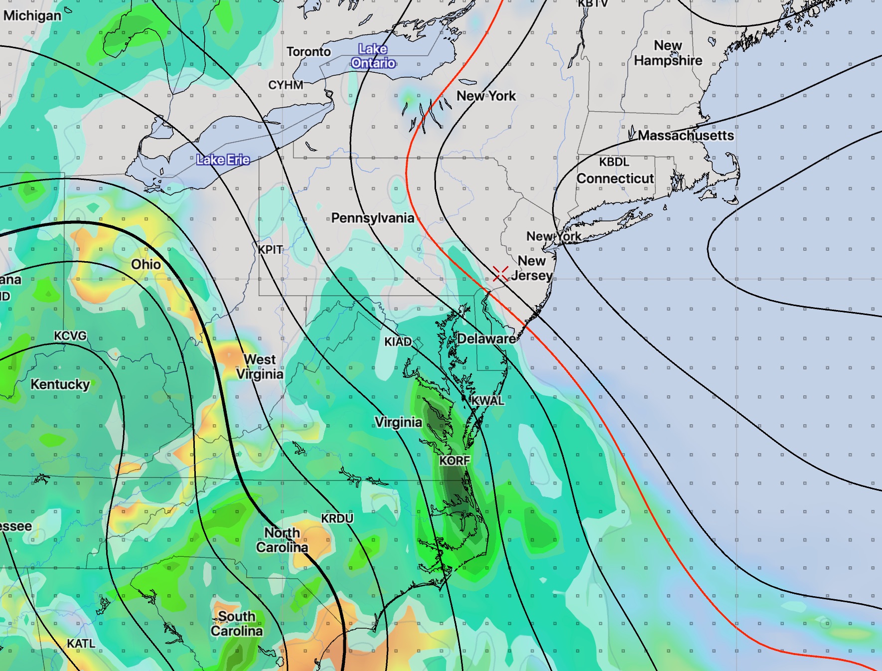
The heavy rain potential will continue with us today, Thursday, for another 24-30 hours, as deep low pressure and deep moisture, (precipitable water values as high as 2.3 inches), moderate to high shear values and high thermodynamic instability values slowly exits late Friday morning.

Today’s high resolution models show several rounds of heavy rain with some scattered heavy rain early afternoon, then the heaviest rain around 4-6 PM and another heavy round about 10-11 PM.   And yet another Friday morning!  Any sun we get today will add fuel to the fire. The most likely severe activity looks to be north into NYC.

Finally for the weekend…

Saturday and Sunday appear to be fine weather days for the first few days of [astronomical] summer. Sunny skies both days with highs on Saturday 78-81 and Sunday 80-83.

WEEKEND WEATHER OUTLOOK

[su_note note_color=”#d9f2da”]Thurs 7PM Update : Saturday is looking to be the better of the two days this weekend. Saturday will be dry, but the models are suggesting periods of cloudiness, just north and west of the city.

Sunday looks to be unsettled with considerable cloudiness and a chance of showers, both in the morning and especially in the afternoon. It will be warm and humid.[/su_note]

Speaking of the FV3-GFS, the model shows a disturbance moving through on Saturday afternoon, a pseudo-warm front.   Saturday starts sunny, but considerable cloudiness develops in the afternoon.  High 84.    Low dew points to start, but it becomes more humid later in the day.

Sunday looks to be cloudy very early, then hazy sunshine, very warm and somewhat humid.  High 88.   Thunderstorms originally expected in the afternoon now are forecast to move through about 7-8 PM.

WEEKEND WEATHER OUTLOOK UPDATE

[su_note note_color=”#d9f2da”]Fri AM Update: With significant activity to our south (rain and low pressure development) in the Carolinas, the models are forecasting a layer of thin, high clouds in our area for much of Friday, Saturday and early Sunday before the lower clouds move in late Sunday. I’ll update this evening.[/su_note]

Earlier this week, (Tuesday) I wrote that the weekend looks to be spectacular, only to hedge a bit with an update Wednesday morning that some clouds may move in on Sunday.

Saturday is still looking wonderful, with low humidity and high temperatures in the low 80s. (Much cooler at the shore due to an easterly wind flow.)

Things have changed for Sunday. Low pressure is expected to organize late Sunday off the Caroline coast.  Moisture is expected to creep up from the south, in the form of clouds for our area Sunday early to mid afternoon.  Rain is [currently] expected to stay to our west and south (affecting Delaware) on Sunday late afternoon. Sunday will be breezy and cooler.

FV3GFS Model forecast for Sunday at 6 PM showing precipitation to our south and west.

I’ll be updating Friday evening, as usual.