Category Archives: Philadelphia Weather Outlook

STORM DELTA WEEKEND UPDATE

Thursday 8:05 PM Update — The latest models continue to push the start of the rain later in the day on Sunday, now late afternoon.


The weekend is looking much better, as the circulation of Hurricane Delta will fall apart as it moves into an upper air ridge environment on the East coast.

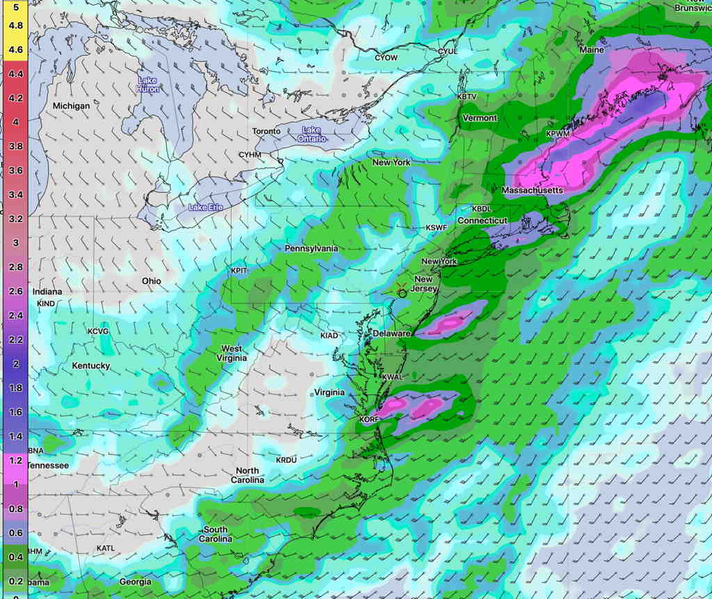
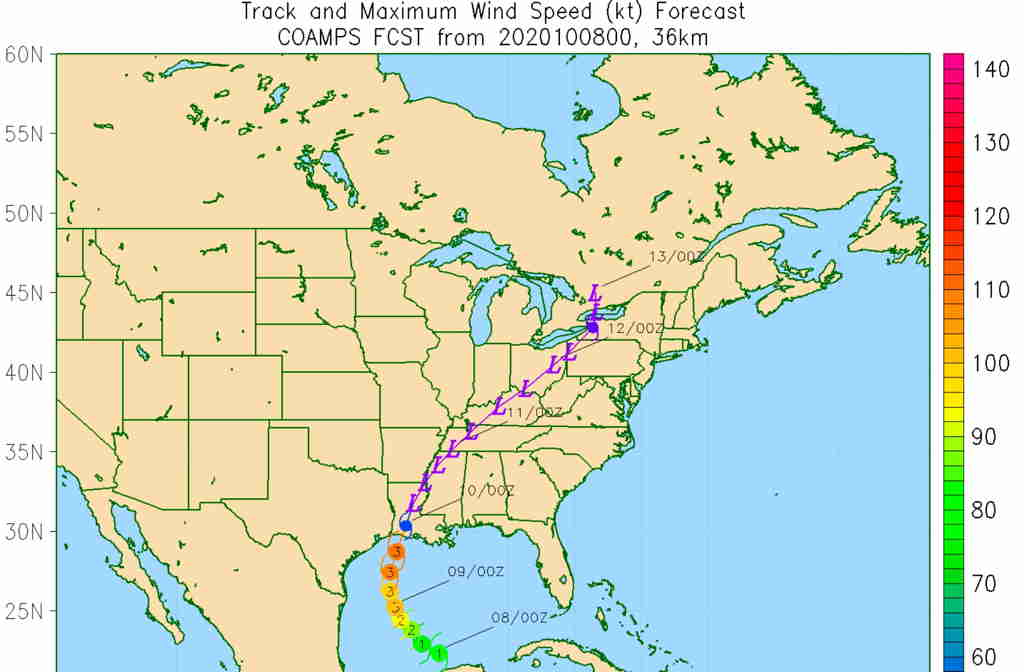
Here’s the [latest  available on public web] Navy COAMPS model forecast for Hurricane Delta—

Navy COAMPS Tropical model  (Click on image for a larger view.)


The trend has been for the rain to move in later on Sunday.

Saturday will see high cloudiness move in in advance of the tropical moisture

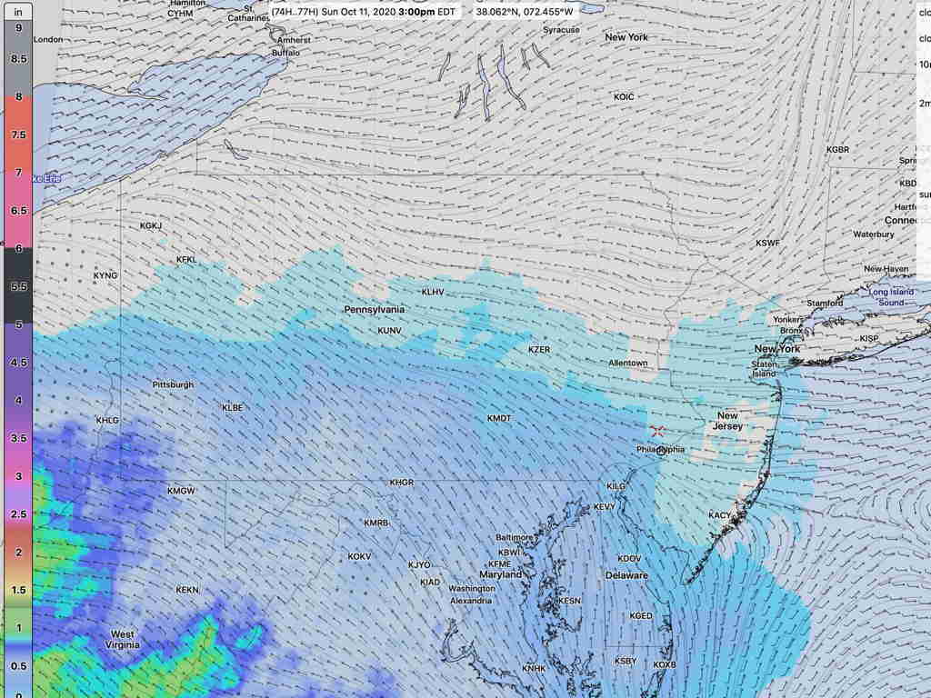
The models have pretty much lined up with yesterday’s Model Blend, having the precipitation wait until Sunday afternoon for the Philadelphia area.  The NBM (Model Blend)  has light rain starting in the mid afternoon, but several models hold it off until late Sunday afternoon. 

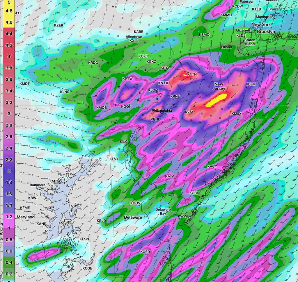
Here’s the latest Model Blend (NBM) precip forecast for 3 PM Sunday—

NBM 1 hour accumulated rain forecast 3 PM Sunday  (Click on image for a larger view.)

Rain slowly increases in intensity during the late afternoon and evening.  Heaviest rain on expected on Monday.

This will be plain rain event, especially late Sunday through Monday.  About 1-1.5 inches of rain is expected by late Monday afternoon.  Nothing like Isais.

REMNANTS OF LAURA ON SATURDAY

Most models have the remnant moisture of Hurricane Laura moving into our area on Saturday.  It currently appears that the storm’s energy and moisture will become incorporated into a non-tropical low pressure system moving through to our north.  A cold front moves through Saturday evening.

At this stage of things, there’s little agreement where the maximum dynamics, moisture and precipitation will fall.

The GFS model, along with the statistical ensemble version, the GEFS, have the maximum precipitation falling in New England—

GFS precip forecast 8 PM Saturday  (Click on image for a larger view.)

The NAM-NEST has a very different scenario, with much higher amounts falling closer to home—

NAM-NEST precip forecast 8 PM Saturday(Click on image for a larger view.)

Most models agree that rain starts Saturday morning and becomes heavier during the afternoon.  It’s likely that the NAM-NEST is over-forecasting the rain here and we’ll likely get only 0.5 to 1.5 inches of rain.

WEEKEND FORECAST UPDATE

Last night’s HIRESW-ARW-MEM2 came through, accurately forecasting the showers that moved through around 12 – 2 PM.

Here’s last night’s HIRESW—

Last night’s HIRESW-ARW-MEM2 forecast for 2PM Sunday. (Click on image for a larger view.)


Here’s the current radar at 1:39 PM—

NEXRAD radar 1:39 PM Sunday. Courtesy of weathertap.com (Click on image for a larger view.)

That’s about as good as model forecasts get. 

There’s been uncertainty regarding the shower/thundershower potential on Sunday.  High humidity, heat and instability suggests that some showers and thundershowers are likely during the day.

Tonight’s models just becoming available have the greatest dynamics just south of Philadelphia and the majority of the models keep the showers just south of our area.

The exception is the HIRESW-MEM2, which continues to forecast showers and thundershowers further north into our immediate PHL area, from 11 AM through 3 PM.  As someone who looks at the models as my daily crossword puzzle(s), the HIRESW-MEM2 has been particularly impressive this summer in predicting these sort of convective storms.  So, I’m betting on its forecast for Sunday.

The models have more consensus about another period of showers/thundershowers around 10 PM Sunday evening, as another wave moves through.