Category Archives: Philadelphia Weather Outlook

PHILLY STORM OUTLOOK FOR TUES-THURS

Last night’s two model runs continue to show some snow and mixed precipitation starting Monday night into Tuesday.  Current track is a bit further south, increasing chance of snow vs. rain, but QPFs are less.

We’re NOT talking about a major snowstorm for Philly; more likely a significant snow for areas much further inland.  Details about specific accumulations still uncertain, but it appears more like a 3 inch range total with sleet and possible rain mixed in for Philly.  The usually “more likely on grassy surfaces” instead of roadways.  That’s the current best guess.

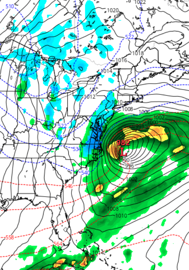
What’s more significant with the latest model runs- the second low that forms on Wednesday is now looking like it might move out to sea, essentially missing us on Wednesday;  this is true of the deterministic models (GFS, CMC, ECMWF etc).   The statistical models still show a ”signal” for snow in our area on Wednesday, so we’re not out of the woods yet.

This is a complex binary-type system.  Still too early to be sure about  details, expeciallly with the second low for Wednesday.  Changes likely.


LATE MONDAY STORM TO SIMPLY BRUSH US

This morning’s models are in (an hour later due to Daylight Saving Time).   The development and track is just far enough east to minimally affect Philadelphia and its adjacent counties in Pennsylvania.   A bit more action in southeastern NJ where QPF’s are about 0.25 inches water, but warmer temperatures will impact accumulation.

[su_note note_color=”#ebf2d9″]At this time, expect just wet surfaces to just coating in most of our area. Freezing Monday night may make for some black ice situations in some areas on Tuesday morning. [/su_note]

PHILLY MONDAY WEATHER UPDATE

Last night’s GFS model continued with the scenario that a low pressure system was going to develop off the coast, but miss us.  However, the recent trends have been to place this system closer to the coast with greater intensification.

This morning’s NAM has suddenly jumped on this scenario, with low pressure in a similar position, but somewhat more intensified, allowing some snow to move in on the western side and into the PHL area late Monday into Monday evening.

[su_note note_color=”#ebf2d9″]With the system evolving, the timing and QPF values and timing are likely to change.  Current QPF is a very light 0.16 inches water.  Currently not much of a ‘storm’, but driving could be slippery on Tuesday morning rush hour as cold air will be in place.[/su_note]

As mentioned in last night’s post, the GFS has been hinting at something happening off the coast.  This weak signal has been strengthened; some winter precip is looking more likely for late Monday.

NAM prediction for Monday evening
Saturday Morning NAM prediction for Monday evening

Expect details and timing to change.