Category Archives: Philadelphia Weather Outlook

WEEKEND WEATHER OUTLOOK

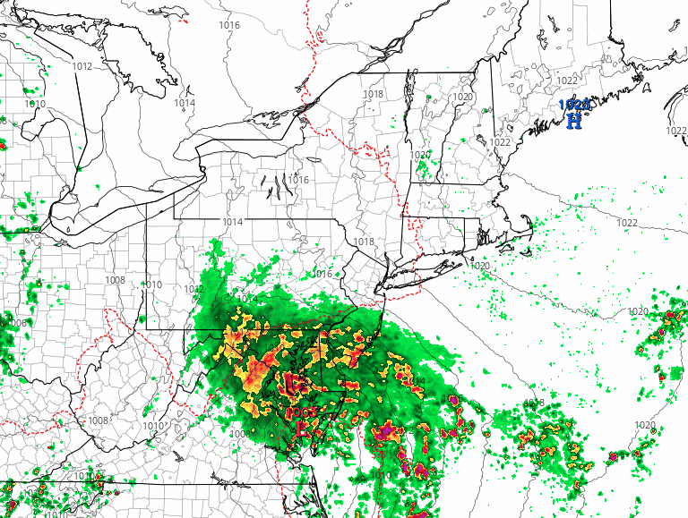
After such a wet, warm and humid September, the change in seasons has not surprisingly brought a change in the overall weather pattern.

The current medium range models show several jet stream dips, allowing colder air to enter into the PHL area.  The dips also create a stage for low pressure development.

Historical average temperatures this week are 43 low and 61 for the high. Our temperatures will depart from these averages over the next several days.

Dip in the jet stream
GFS Saturday Night Forecast

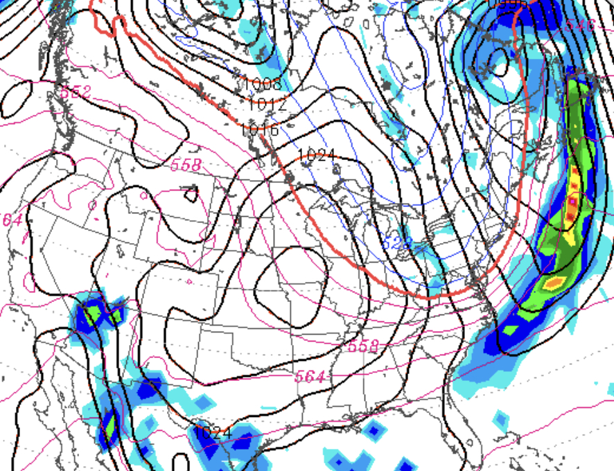
Currently, a dip in the jet stream will bring relatively cold temperatures for Thursday and Friday.  A brief warmup on Saturday will precede another front moving through on Saturday.

The approaching front may give us some showers Saturday and will result in colder weather for Sunday and Monday. Lows may be near freezing Sunday night.

As someone who looks at the weather maps each day as my daily crossword puzzle, I can say that the weather this year has been a wild ride.  The rest of October currently looks to be equally interesting with the possibility of a large coastal storm the end of next week.  Stay tuned.


WEEKEND WEATHER OUTLOOK- UPDATED

Thursday Eve Update: There are already changes in the weekend forecast.  The upper low is now expected to spawn a coastal low pressure system that forms over the Delmarva area and moves north on Saturday.  Saturday that had been expected to be the drier day is not looking that way right now.

The latest NAM high resolution has rain starting in PHL as early as noon on Saturday, while the GFS holds it off until 4-5 PM. (earlier along the coast.)

Here’s the current High Resolution NAM forecast for Saturday afternoon—

NAM rain forecast for 1 PM through 6 PM Saturday

This will be a complex system and the modeling of the upper low and its surface reflection often leads to inaccurate forecast placement of precipitation.

Either way, the next 6-7 days will be very unsettled with periods of heavy rains.


Wednesday Eve: An interesting weather scenario for July is shaping up for this weekend and next week.

An weak impulse will move from the Rockies and develop into a low pressure system near Ohio.  With upper air support, this low pressure will transport warm, very humid and unstable air into our area by Saturday evening.  A persistent threat of showers and thunderstorms will be with us from late Saturday through at least next  Wednesday.  High dew points will make it feel very warm, although significant hazy cloudiness may limit high temperatures.

Saturday will be the better day this weekend, with showers likely holding off until late in the afternoon or evening.

Sunday looks to be more unsettled with intermittent  showers likely much of the afternoon.

As we saw last weekend, forecasts can change significantly.  I’ll update Friday evening.

WEEKEND WEATHER OUTLOOK

A chance of showers on Saturday has been advertised, and the GFS FV3GFS are somewhat pessimistic for Saturday’s weather.

However, I think the global models may be over-predicting showers and rain.

The NAM has been quite conservative regarding showers for Saturday and based on that model, I think just cloudy conditions for Saturday and  mostly cloudy on Sunday is the most likely scenario.    Certainly, a widely scattered shower is possible, but much of the day may be rain-free.

[su_note note_color=”#d9f2da”]Thurs 10:30 pm update:  Tonight’s NAM shows a lot more showers during the day Saturday than previous NAM model runs.  So Saturday may be as unsettled and wet as forecast by the GFS.  Stay tuned [/su_note]

An easterly wind will be responsible for the cloudiness.   I’ll update Friday evening.