#Philadelphia #weather #PAwx
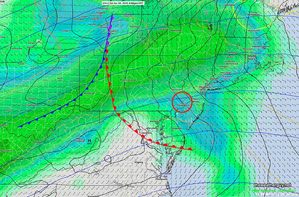
Disturbances moving along a somewhat stationary warm frontal boundary to our south will continue to affect our weather this weekend.
There won’t be much in the way of sunshine this weekend, as low clouds, rain, drizzle and thunderstorms will each make an appearance through Monday.
An easterly flow will develop ahead of a somewhat stationary warm front on Saturday. Some rain and showers will move through from the southwest before daybreak Saturday. There’s a range of model forecasts, but most have this rain somewhat heavy in the early morning, tapering off about 10 to 11 AM.
(If the warm front actually moves north of our area, we may see some slight clearing, but it appears the warm front will stay to our south. Below is the latest ECMWF-AI model—

It should be noted that the experimental RRFS, which resumed running this week, has most of this early morning activity well north of the immediate Philadelphia area. The NAM-NEST, the HRRR, and another experimental model, the MPAS, has the heavier rain right over Philadelphia early in the morning. It will also be windy in the morning.
Most models maintain low clouds, drizzle and even some fog for much of the day but especially late Saturday afternoon, after 4 PM and into the night.
Low pressure develops along the warm front to our south and lifts away on Sunday, shifting the winds to the north on Sunday as rain and even some thunderstorms in the early afternoon. Another low pressure system moves through along the stalled front from the west late Sunday afternoon with heavier rain into Monday.
Some of the timing of these features may change based on slight movement of the somewhat stationery front.
