#Philadelphia #weather #PAwx
Weather Outlook Update
Posted Thursday 01/23/25 @ 5:09 PM — Except for the very cold temperatures, nothing much is happening weather-wise here. There will be a gradual ‘warmup’ towards near to slightly above normal highs by Sunday and Monday before another weak cold front moves us back into the cold for the middle of the next week.
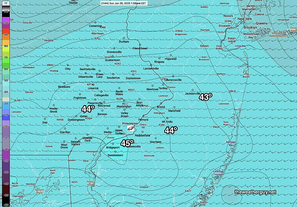
For the Eagles game, it appears that Sunday will start cloudy but cloudiness will diminish during the afternoon. High temperatures Sunday remain about 41º± 1.6º at the Linc but it will be windy and gusty in the early afternoon.
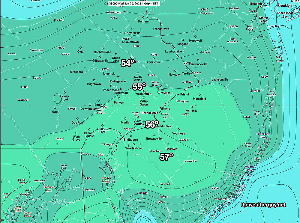
Since there are no storms to watch for the coming days, I’ve been looking at the ECMWF AI model. Curiously, it is forecasting highs in the mid 50s for next Wednesday while the regular ECMWF has us back in the 30s—

What the models do show is a warmup around Feb 1st-2nd with possibly heavy rain.
Forecast Update
Posted Wednesday 01/22/25 @ 9:45 AM — One can always tell when there’s not much happening weather-wise; there’s a focus on the temperatures. Albeit, these are somewhat uncommon temperatures for our area and more so, the southern Gulf states. (It’s still the Gulf of Mexico in my book.)
Yes, it’s cold out there—my consumer-grade weather station recorded a low of 4º this morning.
Continued cold weather is expected through Saturday with a gradual warmup.
For the Eagles game on Sunday, here’s the current ECMWF-AI forecast—

The trend gets better by next Wednesday—

Again, I’m posting the ECMWF-AIFS. My usual go-to model for temperatures is the model blend (NBM).
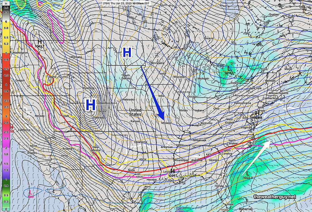
Most if not all of the storm tracks are to our south this week.
Posted Tuesday 01/21/25 @ 11:36 AM — The cloudiness forecast for today are still on the way, according to several models. We’ll likely see cloudiness by 2 PM, especially areas from the city southward.
Of interest are some disturbances in the jet flow just to our south. The latest Canadian and ECMWF show some light snow (flurries to coating) in Cape May and surrounding areas later this evening. There’s even the chance of some flurries here in the city, especially areas southward.

Posted Monday 01/20/25 @ 6:08 PM — One more thing. An very fast jet stream will be overhead tomorrow (225 mph winds!) with embedded areas of vorticity (disturbances). The GFS is forecasting quite cloudy skies tomorrow, Tuesday.
Previously Posted Mon @ 4:59 PM — The extreme cold weather expected this week has been well-advertised. High temperatures in the teens and lows in the single digits.
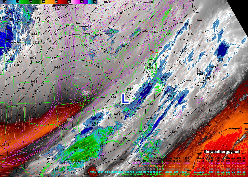
Here’s the current water vapor image—

With the large cold high pressure over us, any storm development appears to be suppressed to our south. A low pressure system north of the Great Lakes Thursday and an associated cold front will bring some clouds at times later in the week. More cold pressure expected to reinforce this cold weather into the weekend.

There may be a few upper air disturbances that move through during the week, but nothing stands out right now.
