
#Philadelphia #weather #PAwx #PhillyWx
The stalled front just to our south that kept considerable cloudiness in our area on Friday, especially southern sections, will return as a slow moving warm front on Saturday through Saturday night.
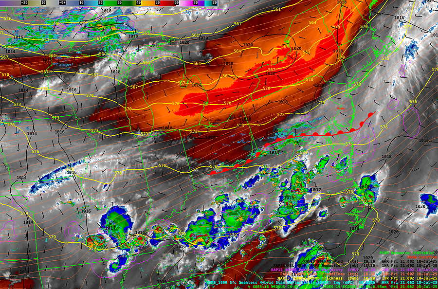
Warm fronts are not distinct like cold fronts and this front’s position and movement were not forecast accurately by the models for Friday. We’ll see if the model guidance is better over the weekend.
Saturday Forecast
Low clouds with widely scattered showers in the morning hours. More widespread heavier thunderstorms likely about 2-5 PM in the afternoon, especially near Philadelphia.
NBM high temperatures: Blue Bell, PA 83º Philadelphia, PA 85º
Moderate – Above Average Uncertainty (based on standard deviation): ± 2.5º
Sunday Forecast
Cloudy early morning, with clearing by early afternoon, if not earlier. A cold front moves through about 3-4 PM with more showers and thunderstorms. Heavier activity currently predicted for NJ.
NBM high temperatures: Blue Bell, PA 90º Philadelphia, PA 92º
Average Uncertainty (based on standard deviation): ± 1.5º
Models used for this forecast: NBM, RRFS , REFS, ECMWF-AI, HRRR, NAM-NEST