
#Philadelphia #weather #PAwx
The low pressure system that brought us heavy rain on Thursday will still be affecting our weather on Saturday. Its associated upper low trough will pass through our area Saturday bringing clouds—
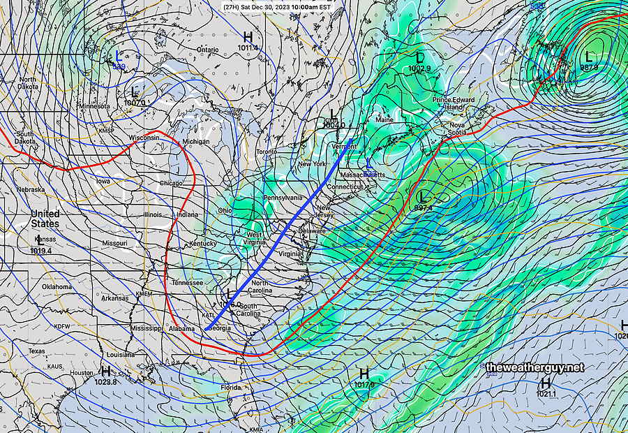
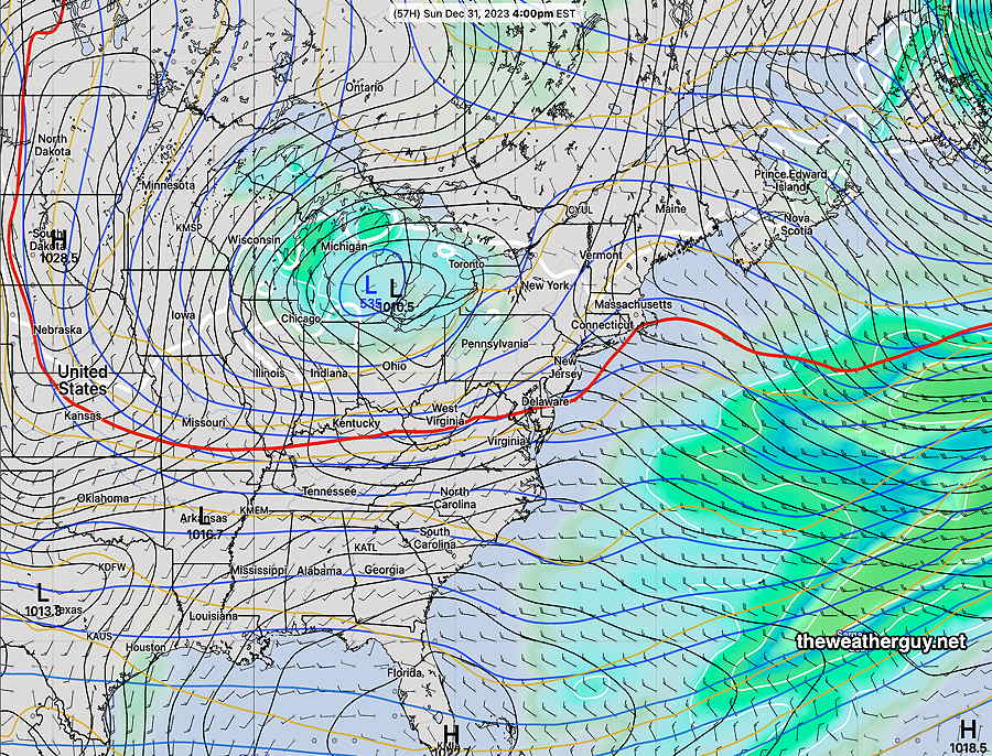
By Sunday, another low dropping down from Canada will bring somewhat colder weather and a considerable cloudiness in the afternoon here, showers remain much further north—
Saturday
Sunny early, the mostly cloudy for much of the day. Some sun may break through later in the afternoon. Windy in the afternoon. No rain.
High temperature 44º ( NBM model— location Blue Bell, PA)
High temperature 46º ( NBM model— location Philadelphia, PA)
uncertainty – average to low ± 1.3º
Sunday
Mostly sunny most of the morning, somewhat cloudy during the afternoon as the low in the Great Lakes affects our weather.
High temperature 44º ( NBM model— location Blue Bell, PA)
High temperature 45º ( NBM model— location Philadelphia, PA)
uncertainty – average ± 1.5º
Monday
New Years Day looks cloudy but dry.
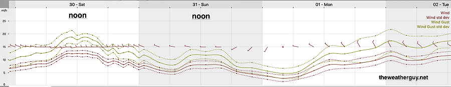
Winds
Looking ahead. A pattern change expected beginning next weekend. Stormy and colder. Snow?