#Philadelphia #weather #PAwx
Forecast Revision
Posted Sunday 12/24 @ 9:05 AM — I don’t think the model guidance is capturing the cloud conditions very well today. We had some shower activity in the evening yesterday that no model had forecast. Today’s early morning sprinkles were predicted as well as the current bright spots and areas of partial clearing, but what about the rest of the day?
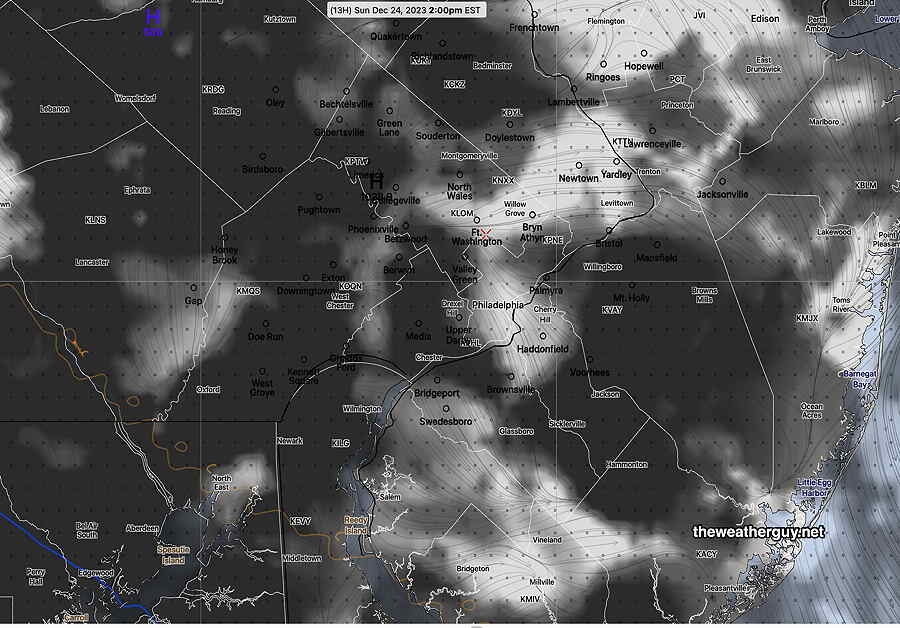
Here’s the current HRDPS cloud cover forecast for 3 PM—

It appears that these current mixed/changeable cloud conditions will remain, but some areas in Bucks and northern Montgomery counties may see (brief )periods of sun by mid afternoon, while southern areas (Chester, Delaware, Philadelphia counties) will see mostly cloudy skies perhaps with a one or two more sprinkles late afternoon. This is a lower than average confidence forecast.
Christmas eve should be dry. Monday starts cloudy but with more breaks of sun, bright spots by afternoon. Mild.
Sunday Forecast Update
Posted Saturday 12/23 @ 4:48 PM — It looks like the warm front will remain quasi-stationary to our south. It’s increasingly likely that fog, drizzle and intermittent very widely scattered light sprinkles are possible late tonight into Sunday morning. Additionally, most models maintain considerable cloudy conditions (perhaps with some bright spots, partial clearing) with widely scattered sprinkles during the afternoon and into Sunday evening.
High temperatures will be on a gradual upswing towards over 50º by Monday—

Unfortunately, these same conditions may remain with us through Monday, perhaps with more occasional bright spots and periods of partial clearing, especially in the afternoon.
Weekend Weather Forecast Update
Posted Saturday 12/23 @ 9:32 AM — There isn’t much change in the forecast; we have an almost stationary warm front with moisture over-riding colder air at the surface. For today, Saturday, this low and mid level cloudiness hangs tight. A few models have some breaks of sun and some bright spots, but those periods of brightness haven’t occurred this morning. No rain during the daytime.
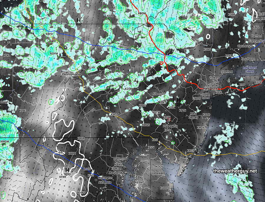
Fog, drizzle and very intermittent light sprinkles possible late tonight into Sunday. Here’s how the NAM-NEST depicts the clouds and sprinkles—

The clouds and light sprinkles continue on and off through the day Sunday, although much of the activity will be to our north. The same is expected Sunday evening into early Monday morning.
We may see some sun in the afternoon Monday.
Weekend Weather Forecast
Posted Friday 12/22 @ 3:30 PM — I’ve reviewed many models for this forecast. There remains varying model guidance on the showers for Sunday, but it does look like we’ll see some light showers/drizzle in the morning and even the afternoon, according to the latest NAM-NEST. Much of the forecast hinges on the movement of a warm front that may get hung up over our area.
Saturday
Some sun and clouds in the morning. Increasingly cloudy during the afternoon with cloudy conditions late afternoon.
High temperature 46º ( NBM model— location Blue Bell, PA)
High temperature 48º ( NBM model— location Philadelphia, PA)
uncertainty ± 1.1º (higher than usual confidence)
Sunday
Cloudy with a chance of light widely scattered showers/sprinkles/drizzle both during the day and into the evening.
High temperature 48º ( NBM model— location Blue Bell, PA)
High temperature 50º ( NBM model— location Philadelphia, PA)
uncertainty ± 1.2º (higher than usual confidence)
Christmas Eve– Cloudy, damp, some sprinkles possible, but mild with temperatures in the mid 40s.
Monday
Depending upon the movement of the warm front, we may see some sun, but low clouds look likely.
Weekend Forecast Preview
Previously Posted Fri 10:12 AM —
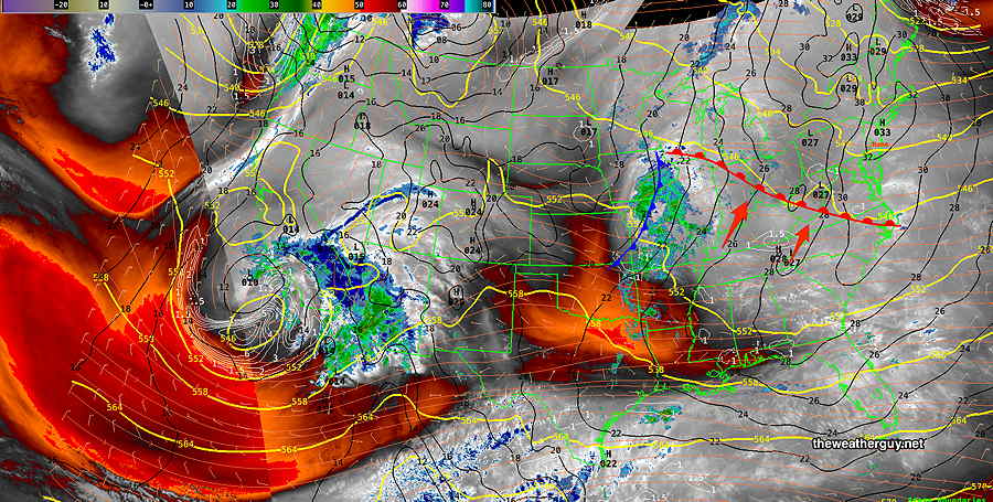
A very slow moving low pressure system in the central US won’t get here until next Tuesday and Wednesday. A slow moving warm front will move north Saturday through Sunday with considerable cloudiness both days.

Saturday just looks cloudy, with showers not making it into the Philadelphia area and surrounding counties.
Those of you following my forecasts from earlier this week know that there’s been uncertainty regarding the possibility of light showers from this warm front late Saturday into Sunday, with the ECMWF being consistent with light showers early Sunday in our immediate area.
The forecast has moved into the forecast range of the higher resolution models (NAM-NEST, HRDPS, HRRR and experimental RRFS). Most of this shower/drizzle activity stays in western Chester and Montgomery counties and northern Bucks counties, but the NAM-NEST (and “experimental” RRFS) does bring some light drizzle/showers here on Sunday morning with early fog in the same areas and even some light sprinkles early Sunday afternoon.
The Canadian RGEM is less on-board with showers and has clearing in the afternoon Sunday. So there’s still uncertainty in the forecast, but I’m leaning towards light sprinkles early Sunday followed by clearing by mid afternoon.
I’ll be reviewing the models again later today. Check back late this afternoon.
