#Phillywx #Philadelphia #weather #PAwx
Sunday Forecast Update
Update Sun 10/22 9:18 AM — The model guidance has backed off on the cloudiness today. Mostly sunny. Maybe some cloudiness towards sunset.
Updated Sat 10/21 @ 5:41 PM — The light showers that had been expected to move through Sunday morning will stay to our south—
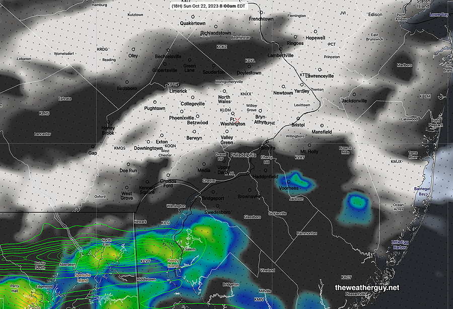
Periods of cloudiness and sunshine in the afternoon. Cooler on Sunday with highs 56º (Blue Bell) 58º (Philadelphia).
Saturday Weather Update
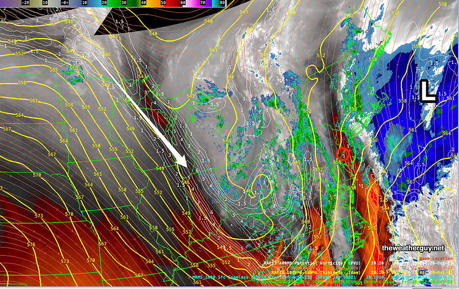
Updated Sat 10/21 @ 10:08 AM — The upper trough will swing through today. Disturbances (areas of vorticity and potential vorticity) will move through causing occasional cloudiness and even a few sprinkles this afternoon.
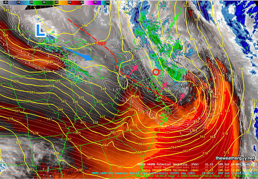
Clouds should thin for some sunshine about 11 AM, but periods of cloudiness will return mid afternoon. Some light sprinkles are possible in a few areas.
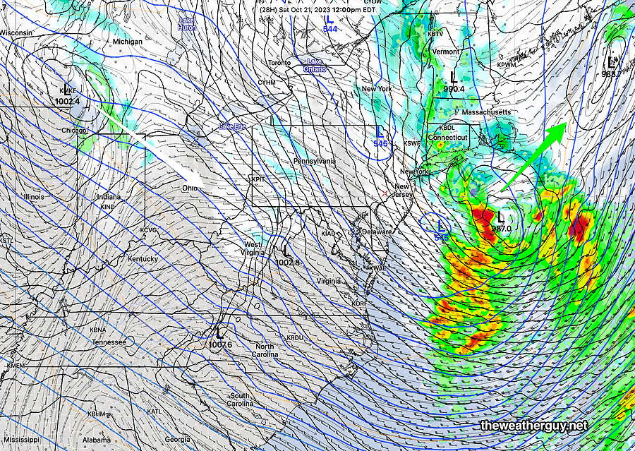
Previously Posted Fri 6:11 PM —
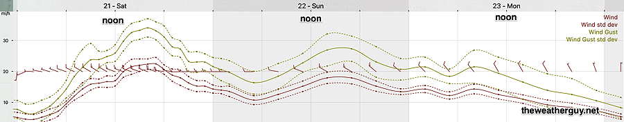
A low pressure system off of the New England coastline will move away as a cold front moves through tonight. Skies should partially clear Saturday, but a general cyclonic flow with embedded disturbances will affect us this weekend causing periods of cloudiness and a widely scattered light fast moving shower. It will be VERY WINDY.
The current water vapor image shows the line of showers ahead of the cold front that will move through this evening ( Friday), about 9 PM. Much of the heavier rain will move up to our northwest —
For Saturday—
Saturday
Clouds break for sunshine by 9 AM. It will become VERY WINDY with gusts exceeding 40 mph. Clouds move back in some areas, especially south of the city. Areas in Chester and Delaware counties may see some light, fast moving showers about 2 PM. Wind gusts near or above 40mph.
High temperature 63º ( NBM model— location Blue Bell, PA)
High temperature 64º ( NBM model— location Philadelphia, PA)
Low uncertainty of ± 0.7º
Sunday
Additional light showers may move through Sunday morning with another disturbance. Then a mix of clouds and sun in the afternoon. Continued windy.
High temperature 58º ( NBM model— location Blue Bell, PA)
High temperature 60º ( NBM model— location Philadelphia, PA)
Average uncertainty of ± 1.7º
Wind Meteogram