
[su_note note_color=”#d9f2da”]Sat 9 AM Update: The 2AM model runs (06z UT) show sun with a bit more clouds and a slightly increased chance of scattered thunderstorms in the afternoon. Highs about 88-89.
[/su_note]
from last night…
A typical August pattern— a weak, poorly defined, surface pressure pattern will be with us over the weekend. For most of both Saturday and Sunday, the wind flow will be from the SE, bringing warm and very humid air into our area. The southeasterly flow is the result of a weak cyclonic circulation off the coast from a poorly defined stalled frontal boundary to our south.
The models are in general agreement that Saturday will be mostly sunny, hot and humid. The NAM has more morning cloudiness than the GFS, but both show clouds breaking for sunshine. There is a large range in the temperatures predicted. Most of the models are in the 89-91 degree range, but the GFS is showing a high of 96 in the city, probably a modeling error of this new model (which is the FV3-GFS). (The Canadian HRDPS shows a high of 92.)
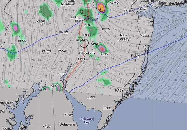
There is a low chance of widely scattered showers/thunderstorms in the late afternoon and evening, mostly north and west on Saturday.
A repeat performance on Sunday, with the models showing temperatures in the range of 90-92, again with the GFS model somewhat higher in the immediate PHL area. There’s a somewhat higher chance of thunderstorms late afternoon on Sunday.
The humidity will be noticeable with dew points in the uncomfortable range of 69-72 both days.
I’ll update over the weekend to narrow down the chance and location of any showers.