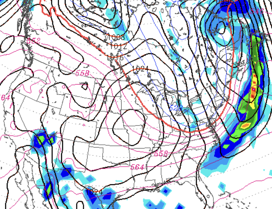
A weak front will move through Philadelphia in the early morning hours Saturday, accompanied by some showers, mostly before daybreak.
I’m going to try something for this forecast version- it will be based on the newer statistical models– the new National Blend of Models (NBM) and the new Ensemble Kernel Density Model Output Statistics. (EKDMOS). We’ll see how this goes. 🙂
Saturday will start cloudy, but skies will begin to clear during the mid morning hours and partly sunny skies is expected for much of the day. High will be between 61 (NBM) or 66 (EKDMOS) . It will be windy!
Clouds move in later Saturday afternoon as a strong secondary cold front moves through. More showers possible during Saturday night.
Sunday will be mostly sunny with some clouds, chilly and windy with a high of 49(NBM) to 52 (EKDMOS).
(I’ve been incorporating the experimental NBM and EKDMOS for these forecasts over the past year. The EKDMOS is pretty good with forecasting high temperatures. The NBM 3.1 , which now includes the European Models in the blend, was promoted from experimental to operational on Oct 3rd. Let’s see how it does this weekend.)
Look for an update tonight.
[su_box title=”Forecast Update Friday 6 PM” box_color=”#defcdc” title_color=”#000000″]The forecast remains on track. Saturday, after pre-dawn showers, becomes mostly sunny with some periods of clouds. Windy. High 63. Some sprinkles Saturday night as a secondary cold front moves through. Sunday is mostly sunny, windy and chilly. High 50. [/su_box]
[su_note note_color=”#d9f2da”]This weekend’s forecast postmortem: The NBM did pretty good with the high temperatures, winds and precipitation (including Sunday’s brief shower that occurred about 8 AM instead of the predicted 7 AM.) BUT, it did very poorly with the cloudiness/sky cover prediction on both days. It was much cloudier than the NBM forecast. I’ve noticed this in past months. So I’ll have to go back to the GFS humidity fields for cloud cover in future forecasts. [/su_note]

