WEEKEND WEATHER FORECAST

It’s been a long time since I was able to post a forecast early on Friday for the upcoming weekend and have confidence that things wouldn’t significantly change in a day or so.

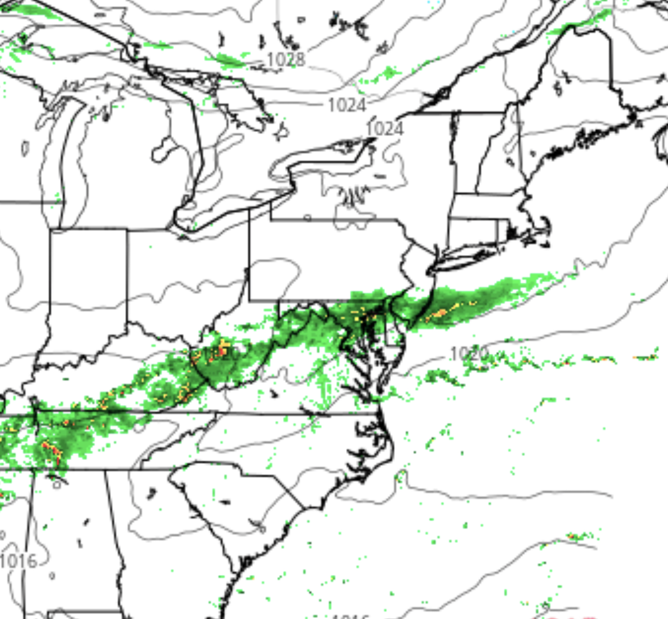
The forecast situation for this weekend looks to be different, where high pressure builds in from the northwest and centers itself over PA, heralding in what has become an anomaly–  an extended period of dry weather!

Forecast for Saturday
GFS Forecast Saturday afternoon

Skies are expected to clear Friday afternoon and sunny skies, light winds and lower dew points should be in store for both Saturday and Sunday.  Highs on Saturday about 72 and Sunday about 74.  Enjoy!

Currently, the next chance for showers will be in over 7 days from now.

WEATHER FORECAST UPDATE

Today’s weather featured a bit more cloudiness than had been forecast and the temperatures weren’t able to reach the predicted high.  The front has stalled just a bit further north and over-running of moisture has to occurred today giving us the clouds.

As mentioned yesterday, it wouldn’t take much for the amount of rain expected on Sunday to increase, based on further intensification of the wave expected to form along the stalled front to our south. Indeed, the GFS and last night’s NAM suggested that rain might continue through the day on Sunday.

So while Friday’s model forecast had Philadelphia on the very northern fringe of precipitation on Sunday, things are now looking wetter.

This afternoon’s models are predicting a very cloudy and rainy Sunday. Rain starts in the morning and continues into the afternoon. High in the mid 60s.

Autumn, which begins tonight, continues with the rainy pattern we have had for much of this past summer.