
Friday and this Weekend
Friday will have gradual clearing beginning about noontime. Temperatures will continue to move towards more normal (average) range or slightly above average levels.
The very light snow mentioned for late afternoon and evening Sunday continues to be a low probability event for any accumulation. Accumulation amounts are in the ‘model noise’ range and temperatures are expected to be just above freezing in the immediate PHL area and rise somewhat late Sunday night.
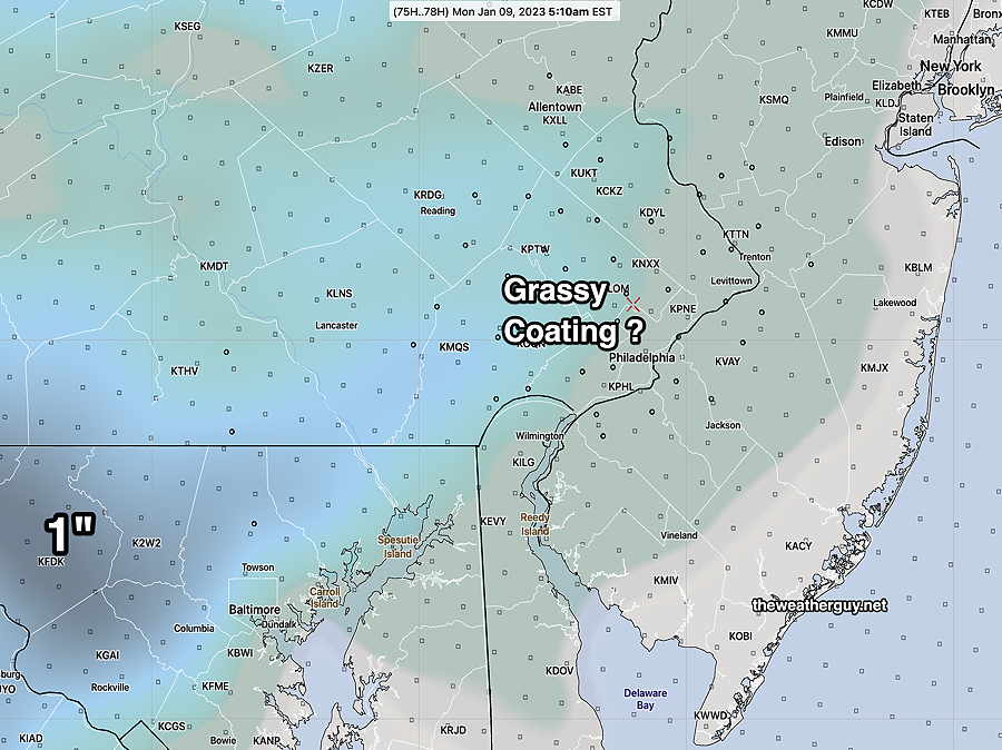
So even the idea that there might be a coating on grassy surfaces now appears to be a stretch.
There’s simply not enough cold air to our north at this time.