
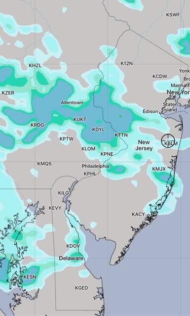
[su_box title=”Updated with Saturday 2 AM HIREF (Hi Resolution Ensemble Forecast) ” box_color=”#defcdc” title_color=”#000000″]The only significant change is that the high resolution ensemble forecast shows more widely scattered thunderstorms later in the afternoon and early evening on Saturday.
[/su_box]
from last night…
Most of my thoughts about this weekend’s weather can be found in my earlier post today.
Basically, an upper weak trough may cause some cloudiness Saturday afternoon possibly reducing the the achievable high temperature to the mid to upper 90s. It will still be very humid.
The most recent EKDMOS statistics (GFS model-based) still show a high of 100 for Philadelphia and the NAM and GFS MOS show a high of 98. Tonight’s WRF model versions show a range of 96-98.
[su_note note_color=”#d9f2da”]Tonight’s NAM again shows some clouds at times and even the chance of a widely scattered thunderstorm early Saturday afternoon.[/su_note]
A similar scenario is expected on Sunday with some afternoon clouds and some late thunderstorms more likely.