
#weather #paweather #wx #pawx #philadelphia #phillywx
Sunday Forecast
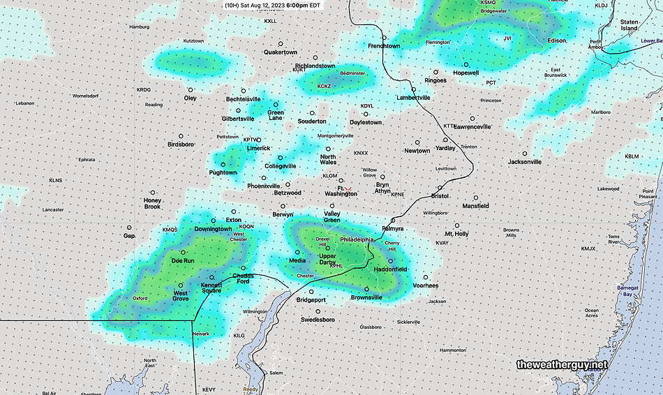
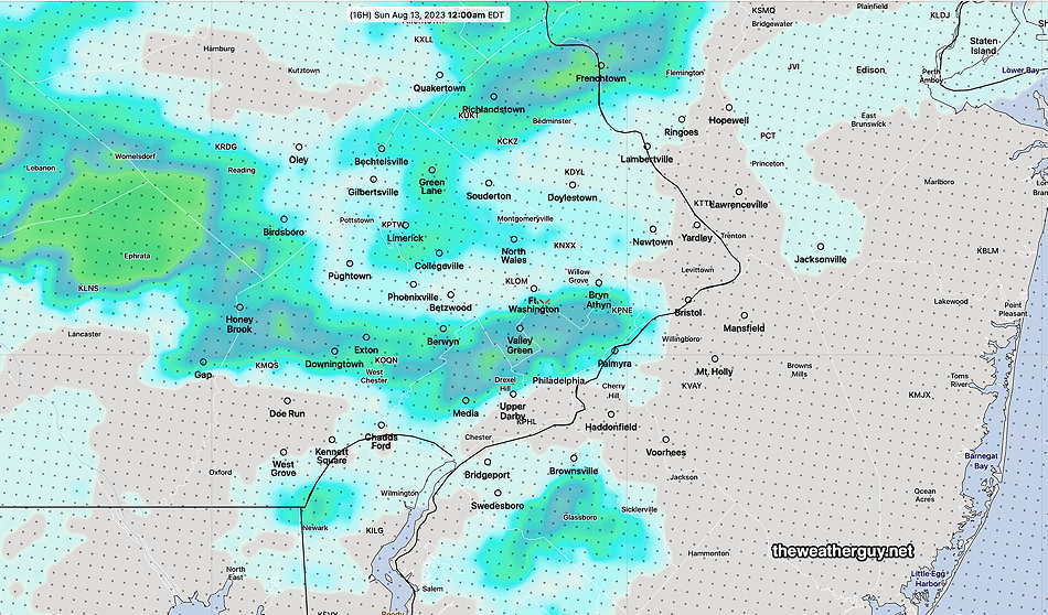
Update Sat 8/12 11:01 PM — The second area of showers /thunderstorms forecast this morning to be here around midnight are now expected about 1-3 AM, if they hold together.
Sunday’s original forecast below still looks good.
Saturday Update
Updated Sat 08/12 @ 10:26 AM — Quick update. This morning’s NAM-NEST and HIRESW show showers/thundershowers possible as early as 3 PM in our area today.
Updated Sat 08/12 @ 9:39 AM — As shown in the water vapor image yesterday, there are several upper air impulses expected move near our area today. The models show several complicated jet streaks and it seems they’re having trouble with a definitive forecast.
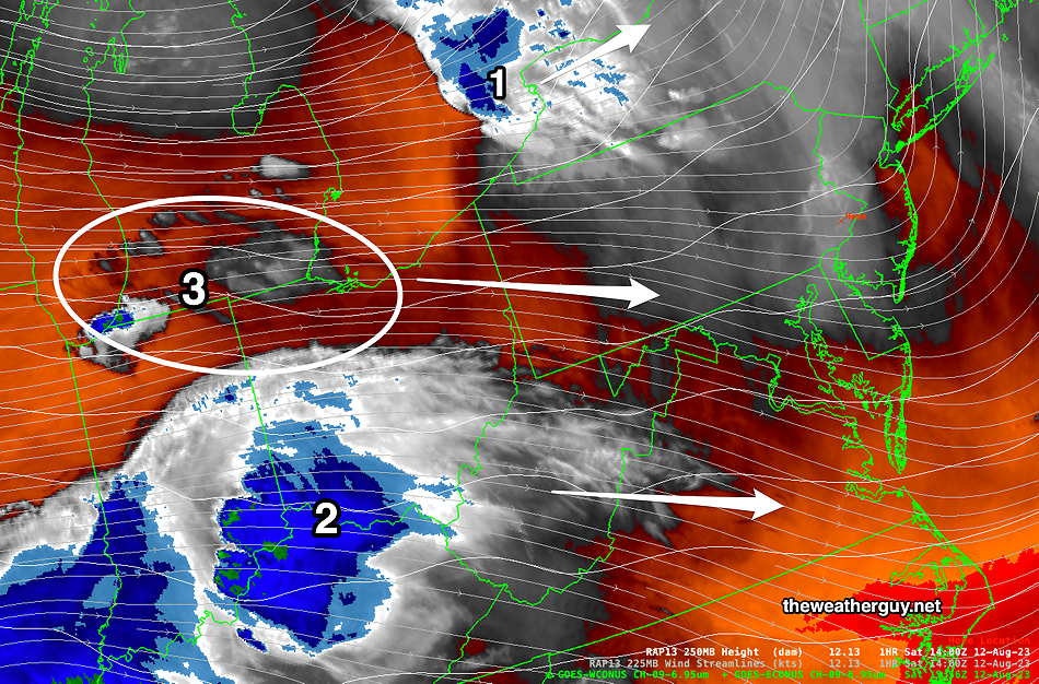
I’m leaning towards the NBM model forecast for today which is closest to the HRDPS—
In addition to the above shower/thunderstorm activity between 4 and 6 PM, the NBM shows a second area of showers moving in around 10 PM to midnight tonight. This forecast is also similar to the HRDPS—
Update Fri 8/11 11:06 PM — Tonight’s early models are keeping any showers and storms on Saturday confined to far northwest suburbs. I’ll update tomorrow morning.
Previously Posted Fri 6:16 PM —
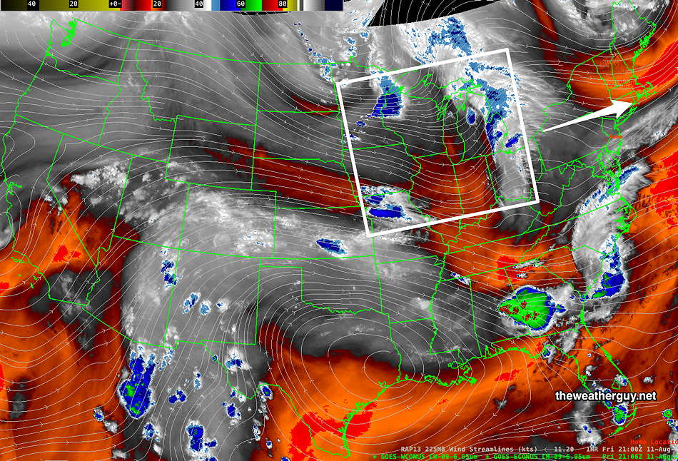
For most of the summer, we’ve been under the influence of the flow around an upper low centered in Canada. Earlier, in the late Spring, this upper level low was over Hudson Bay. Over the summer, the center of the upper low has moved eastward and somewhat southward. With a few exceptions, the upper low’s flow has kept the very hot weather in the southern US from becoming entrenched over the Northeastern US.
We continue to be affected by upper level disturbances that flow around this upper low, as well as disturbances that flow around the top of the hot dome over the South.
Here’s the current water vapor satellite image showing yet another disturbance to rotate through, later on Saturday—
Another, more potent disturbance will rotate into our area on Monday.
Saturday
Periods of sun and clouds in the morning. A bit more cloudiness than sunshine at times in the afternoon. Some areas may see some light showers/thundershowers as early as early afternoon, but they will be widely scattered. Scattered showers. thundershowers a bit more likely in and around Philadelphia during the evening hours.
(The HRRR’s forecast of showers is minimal. The HREF and HRDPS are more emphatic about showers/thundershowers especially late afternoon and especially just north of Philadelphia.)
Humid. Dew points in the low 70s.
High temperature 89º sd 1.1º ( NBM model— location Blue Bell, PA) High temperature 91º ( NBM model— location Philadelphia, PA)
Sunday
Sunny. Humid in the morning. Dew points in the low 70s will fall in the mid 60s by afternoon.
High temperature 88.2º sd 1.2º ( NBM model— location Blue Bell, PA)
High temperature 90.2º sd 1.1º ( NBM model— location Philadelphia PA)