Updated Sunday forecast Sun 8 AM highlighted below
This weekend’s weather will be marked by an upper air pattern change, where the cool upper air cyclonic flow will transition to a warmer upper air ridge by next week.
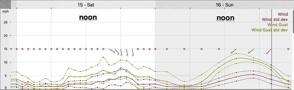
Saturday
Prior to the upper ridge taking hold, an upper air low near our area will trigger some instability cloudiness and widely scattered showers Saturday afternoon. Forecasting the exact location of the showers is not possible. The GFS has us dry while the higher resolution “convection allowing” models show some light showers springing up.
Sunny in the morning, instability puffy cumulus partial cloudiness in the afternoon with widely scattered showers possible. There isn’t much “precipitable water”, so any scattered showers will be light. High temp 76.1º sd 1.1º (higher than usual confidence.)
Sunday
A more developed warm front will be lifting through with most of the rain and dynamics far southwest of our area. Some models threaten our western suburbs with showers, but the model blend is keeping the immediate PHL area mostly cloudy and dry.
Despite impressive radar echos in western Pennsylvania Sunday morning, the HREF and NBM models keep the heavy showers and thunderstorms west of the immediate PHL area Sunday.
Some sun in the early morning, then mostly cloudy. A chance of widely scattered showers/thundershowers, mostly far western suburbs. Again, there isn’t much “precipitable water”, although more than Saturday. High 74º sd 2.8º