Going forward, I’m inclined to have any update to the initial post contained in a single update box; previous updates will be deleted. But let’s hear what YOUR preferences are.
[yop_poll id=”2″]
Updated on Fri 8:50 AM in the green box below
Updated on Thu 7:50 PM in the box below
Updated on Thu 8:35 AM in the box below
The coming weekend will be a transitional time for the current weather pattern.
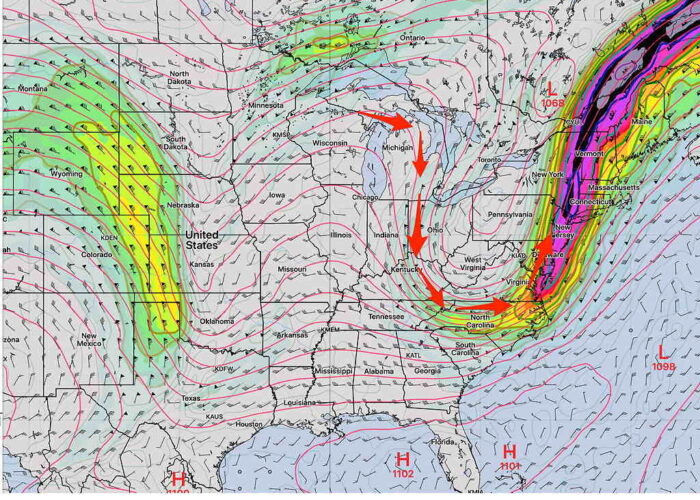
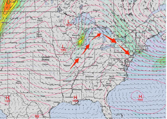
The current highly amplified jet flow trough that’s giving us such cool weather will transition by Sunday to a more typically hot summer upper air ridge with a Bermuda high as shown below—
The current GFS and NBM show sunny skies with a slight chance of a shower Saturday late afternoon or evening, followed by sunny, hot and humid weather for Sunday.
Sunday will feature an upper air low centered over Philadelphia and a surface low off of the coast. The models are keeping the showers far east right now with a mix of sun and clouds on Sunday.
Both days will feature hot and humid weather, but not as hot and humid as previously forecast. Temps 88-90 with dew points in the low to mid 60s.
Check back for the Weekend Weather forecast this evening.
The high temps will be in the upper 80s Saturday and just above 90º for Sunday.
Currently, the longer range models show all of next week to be very hot, humid and rain-free with high temps in the low 90s and dewpoints in the uncomfortable 70º range. With the exception of a widely scattered or isolated thunderstorm, much of the upcoming week looks to be dry.


Just wanted you to know how much I appreciate these analyses. The detail you provide is so valuable – and simply unavailable elsewhere for non-professionals. The network meteorologists may know what they’re talking about, but they’re terrible at getting it across to the audience. NOAA’s weather.gov tools are useful, but limited – no models. This blog gives me a window into data sources and analysis I can’t get anywhere else. Please don’t simplify that away. Snowstorms, thunderstorms, and all points in between you’re a huge help! Thank you!!
Thanks for the very complimentary feedback. Much appreciated!
I share Mr. C’s sentiment but would add a forecast specific question–and indications in the modeling for when next week’s muggies might break? I have gotten spoiled and weak from all the recent beautiful weather.
I get that by October it will be nice. 🙂
Not sure when the muggies will clear out. It IS August. It’s supposed to be muggy. The models have changed regarding the weekend forecast in just two days. Wouldn’t venture a guess about a big pattern change just now.