Forecast Update Mon 9:59 PM in green box below
It amazes me how different the weather forecast for the current week looks compared to my forecast from last Wednesday.
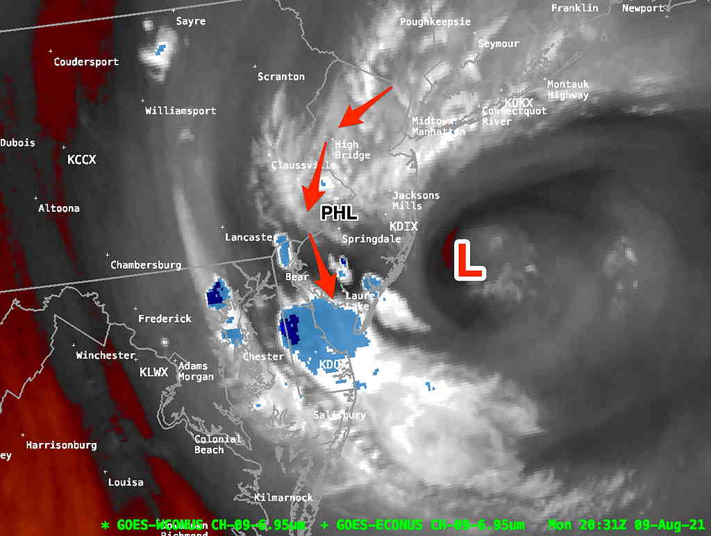
What was going to be a simple transition to an upper level ridge (and just hot weather) now has a somewhat stuck upper air low pressure system off the NJ coastline which moves away Tuesday and gives way to a persistent jet ripple just east of the Appalachians.
This is something called a “leeward trough”, caused by the jet stream upper winds moving over the mountains. This, along with the heat and humidity, will cause the formation of thunderstorms each day, most likely west of the immediate Philadelphia area.

This upper low is expected to drift off to the NE, allowing a more southerly hot humid flow to move in.
There’s some question about whether we will see temperatures reach 96-97º (GFS model) , but but most models have us in at least the low to mid 90s with very high humidity (dew points near and above 70º)
“Apparent Temperatures” (heat index) will likely be over 100º Wednesday and Thursday.
Poll Results
I’d like to thank everyone who provided feedback on my forecast updates. It looks like I’ll be keeping the updates visible and I’ll continue to explore how to make the update history less confusing.

