Last night, low temperatures approached 10º, (Ft Washington). This was considerably lower than the 16º predicted by the GFS, NBM and various MOS and LAMP model products.
An average of the CMC (Canadian) and the RAP (Rapid Refresh) model would have been a better forecast.
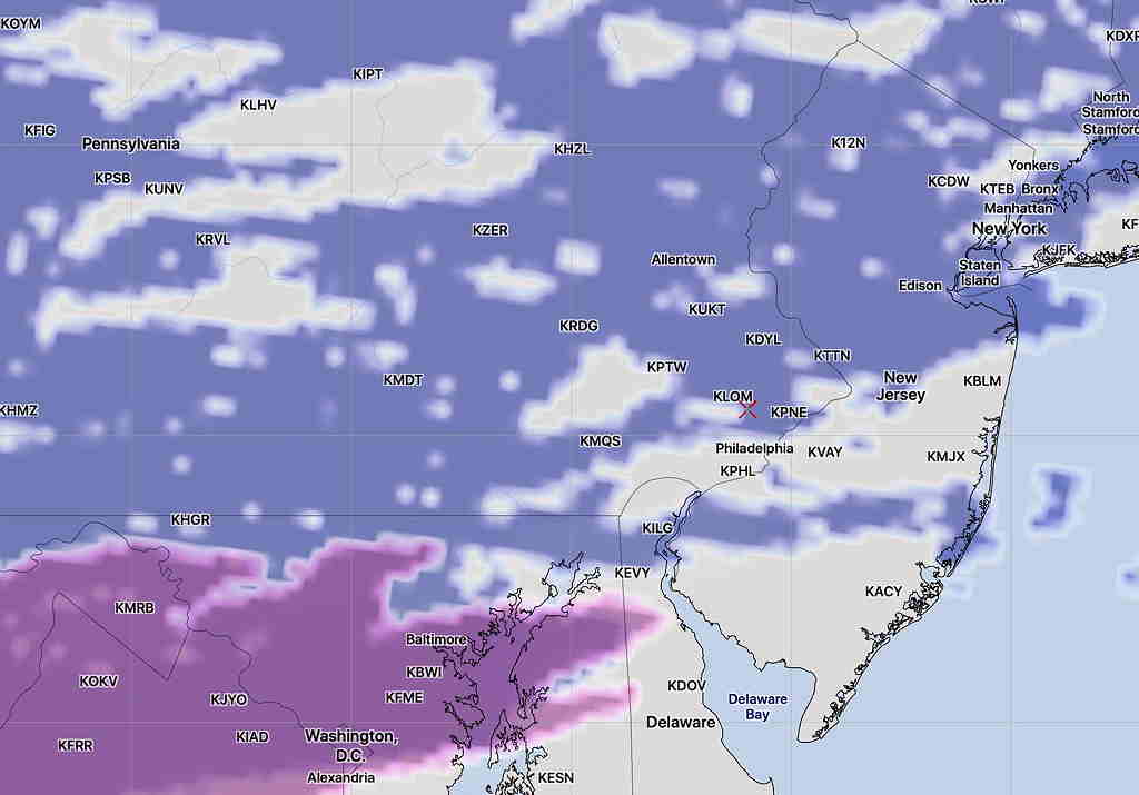
For today, Saturday, sunny with light winds. Most of the models have high thin clouds in the afternoon.
Thickening clouds between 2-4 PM, although the latest GFS has pushed that later until 5-6 PM.
An average of the CMC and RAP gives us a high of 30º today (Ft Washington).
Last night’s forecast still on-track for Sunday.