The HRRR shows some dynamics, but no moisture. The GFS model suggests that the front loses upper air support. This would negate the storm forecasts of the NAM NEST, the HIRESW and the Canadian HRDPS. We’ll find out soon enough! Fascinating.
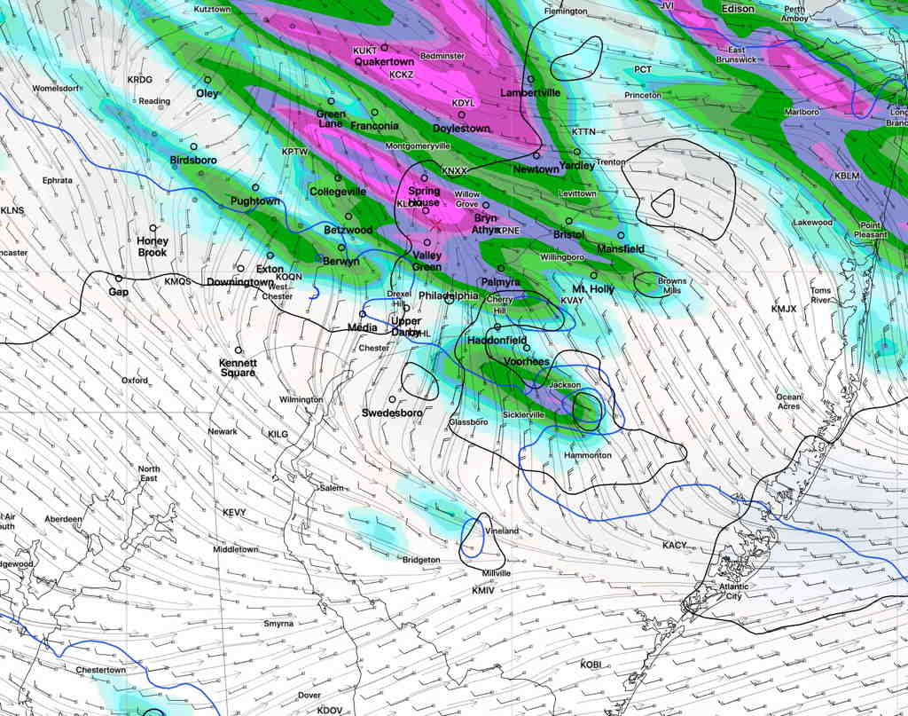
Tue 05:11 PM Update — So, some models still have some action here, albeit, an hour or so later. Here’s the 2PM NAM NEST model with its 3 hour rain accumulation at 8PM—

These things are interesting. Are so many models wrong today?
from earlier today…
Last night, the models were unimpressive about heavy thunderstorms in the immediate Philadelphia. Based on this morning’s models, I’m fine-tuning and updating.
It appears that thunderstorms will develop in our northwestern suburbs about 4 PM and rapidly move southeastward through Philadelphia and south Jersey between 5 and 7 PM. Fast moving, you can expect gusty winds 30-40mph.
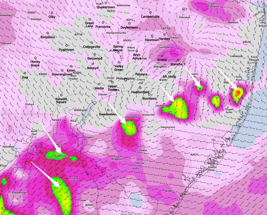
Today’s HIRESW and HRRRR show increased helicity, especially as the line of storms crosses over into NJ.

Helicity values show the potential of rotational winds.
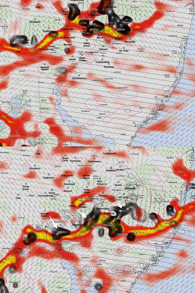
Below is a depiction of maximum horizontal moisture convergence and vertical velocity at its position at 5 PM and 6 PM. This will correspond to storm position and strength—

In summary, the storms move from the northwest to southeast. The most severe activity will likely be when the storms move into and through NJ.
