Update Thu 10/27 @ 5:38 PM — The Friday through Sunday period is looking very nice. Sunday isn’t forecast to be as cloudy as previously thought.
Even the system expected to affect us on Monday (Halloween) doesn’t appear to be as wet as previously forecast. With the exception of the ECMWF model (which still forecasts some heavier showers), it may be relatively dry for Trick or Treaters Monday evening.
Update Wed 10/26 @ 5:17 PM — High pressure will build in for Thursday through Saturday. Very nice autumnal weather expected.
(The only thing to watch: the high will move off to our northeast. An easterly flow around the high may bring in some cloudiness on Saturday, but not currently forecast by the models.)
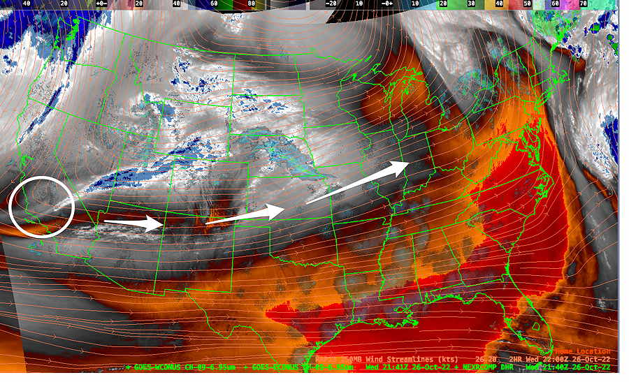
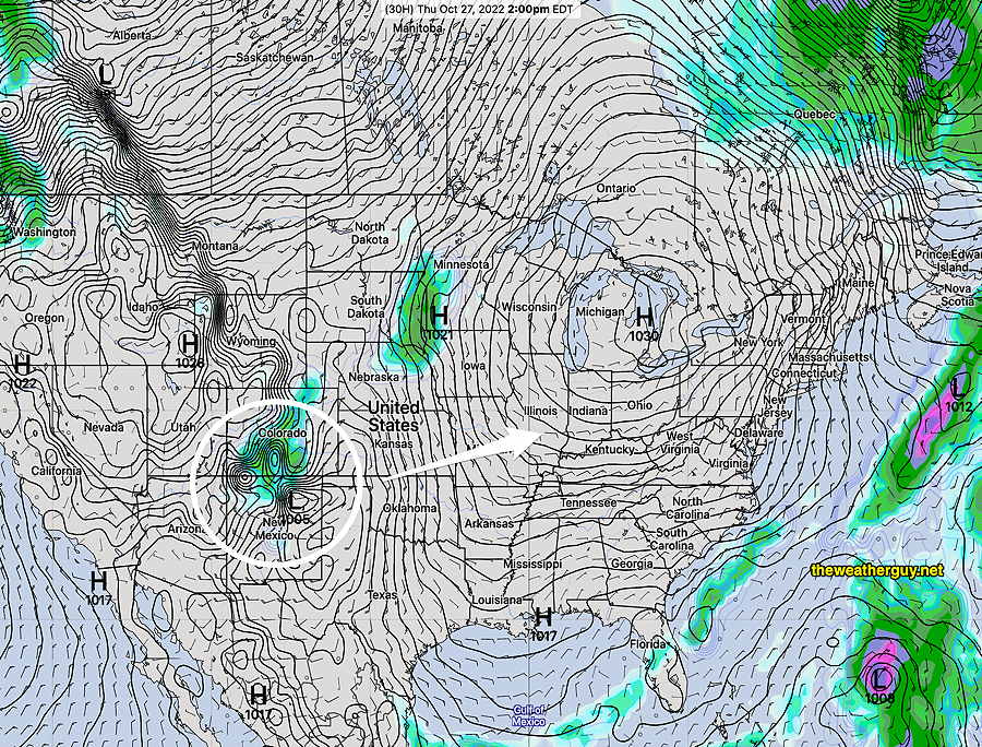
Low pressure in the Southwest will move towards us on Sunday with an increase in clouds. Rain associated with this system is currently forecast to move in during Sunday evening and linger into Halloween.


Updated Tue 10/25 10:46 PM — Several of tonight’s high resolution models show some scattered showers between 1 and 4 PM Wednesday afternoon with a weak frontal passage.
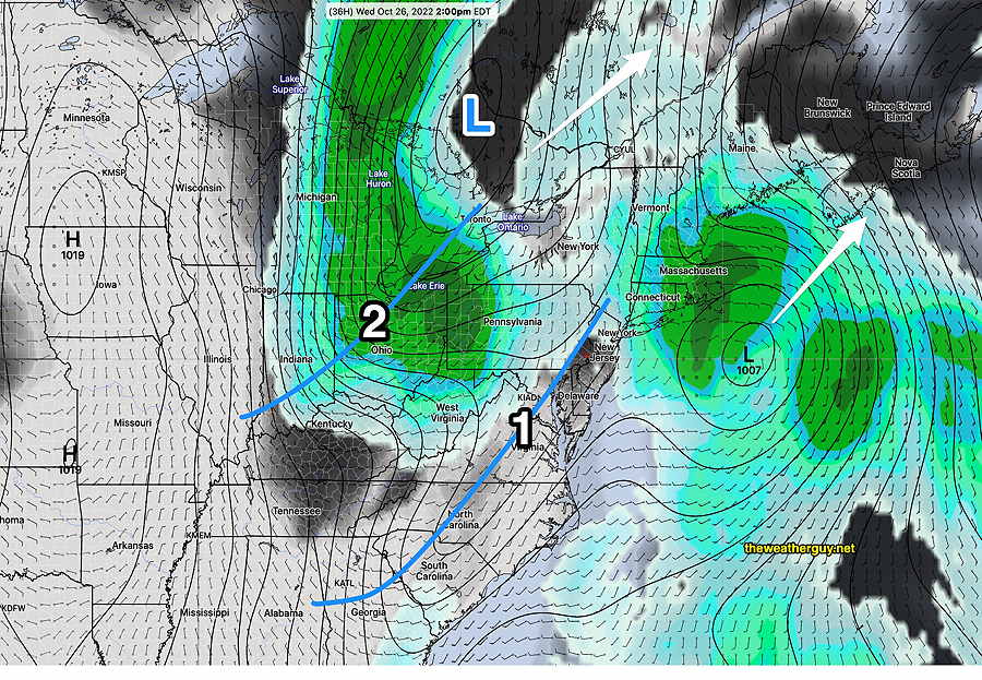
Update Tue 10/25 @ 11:09 AM — Today’s models continue forecasting the low clouds to hang tight through today (Tuesday). We are sandwiched between two low pressure systems that will move off to the northeast on Wednesday. We may get some break in the clouds for a time on Wednesday afternoon.

Thursday is looking good as are Friday and Saturday. There’s some question about another coastal low affecting us on Sunday. (high uncertainty.)
A low pressure system will shear off to the northwest of us on Wednesday with most of the rain with its associated cold front also moving off to the north and west.
Update Mon 10/24 @ 8:14 PM — This afternoon’s models suggest the low clouds may hang in tight through most of Tuesday afternoon, except in NJ.
Previously Posted Mon 4:41 PM —
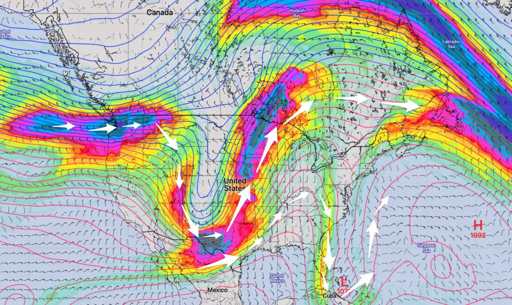
A weak upper level trough and a high pressure system to our north have given us a damp easterly wind flow and light rain/drizzle.

The damp easterly flow will persist through much of Tuesday, but skies may brighten by mid to late Tuesday afternoon.
A weak front moves through Wednesday, with most of the energy to our far north. High pressure builds in for Thursday and Friday. Very nice weather expected Thursday and Friday and likely Saturday.
