
Updated Sat 10:30 PM— Tonight’s models show more clouds than previously forecast on Sunday and some sprinkles in the morning. A chance of some heavier showers in the early afternoon, especially from PHL and eastward.
The slowly moving frontal boundary just to our south has spawned a somewhat stationary weak low pressure system off the Delaware/Maryland coastlines.
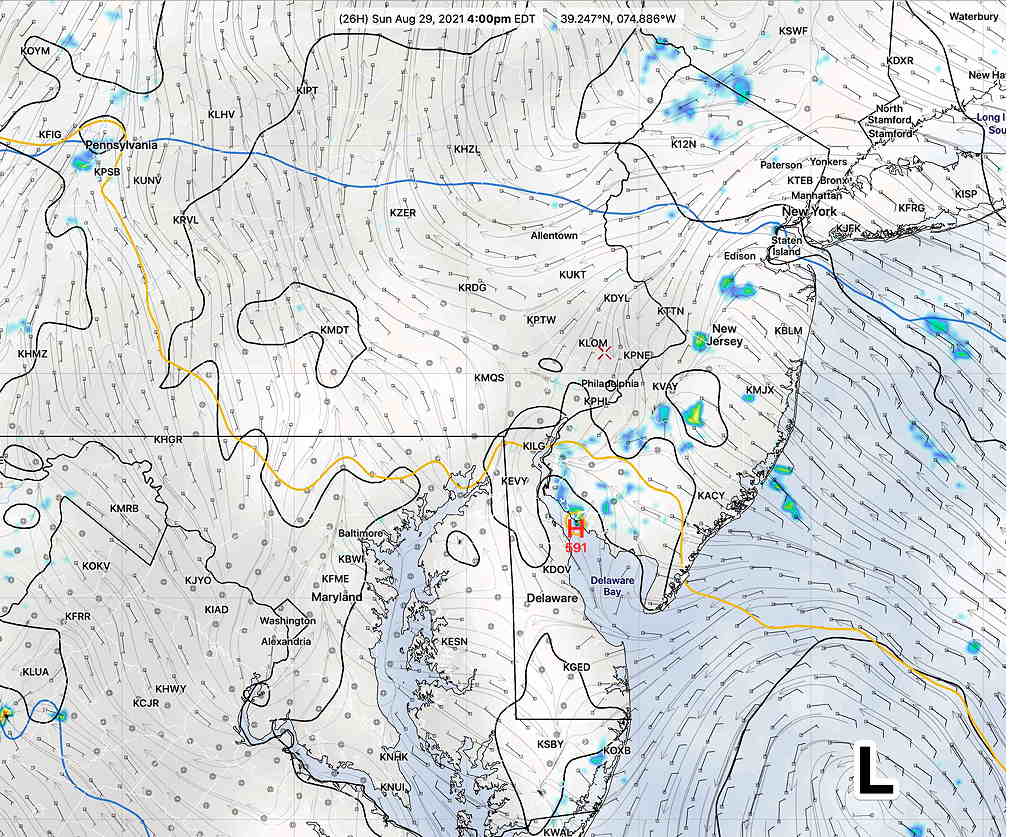
Sunday will start cloudy, but enough dry air will filter in on Sunday to give us a mix of broken clouds and sunshine by noontime. Some widely scattered showers are possible later Sunday afternoon (mostly in NJ) due to instability but most areas will be dry.
It will be very humid. High 83.0º ± 1.8º NBM, Blue Bell PA
Hurricane Ida’s track looks like it will begin to affect our area late Tuesday through early Thursday.