A southwesterly flow of mild air will continue through early Sunday. For Saturday, a bit of clouds early morning, then mostly sunny skies and temperatures in the mid 50s. Beautiful for December in Philly.
A cold front will move through during the day on Sunday. Sunday will be cloudy with showers likely during the afternoon and evening. Temperatures still mild with highs near 49.
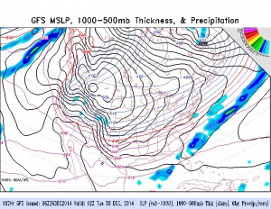
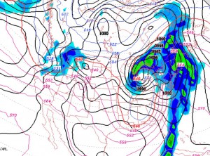
A broad trough will bring colder temperatures for upcoming week. As mentioned in an earlier post, the cold front moving through on Sunday will stall not all that far to our south. Disturbances may develop along this boundary. The GFS suggests some light precipitation early Tuesday, otherwise dry.


